Shipwrecks, Kelp Forests and Wineglass Bay: The Great Ocean Road, Flinders Island and Eastern Tasmania
8–18 February 2026 · Melbourne, Great Ocean Road, Twelve Apostles, Nelson, Mount Gambier, Flinders Island, Tamar Valley, Bay of Fires, Ben Lomond, Freycinet, Tasman Peninsula, Hobart · Regions: Australia (Victoria, South Australia), Tasmania
In February 2026 I had ten days in southeastern Australia before the longest cruise of my life: a month from Tasmania to South Africa along the coast of Antarctica. After 14 hours in the air from Dubai I landed in Melbourne, exactly where my last Australian trip had ended in April. The plan was three short road trips: the Great Ocean Road, Flinders Island in the Bass Strait and the east of Tasmania. When I wrote about Western Australia, Christmas Island and the Cocos (Keeling) Islands in 2024, Tasmania was still missing from my Australian territories. I explored the west of the island last year; this time it was the turn of the east.
The Great Ocean Road
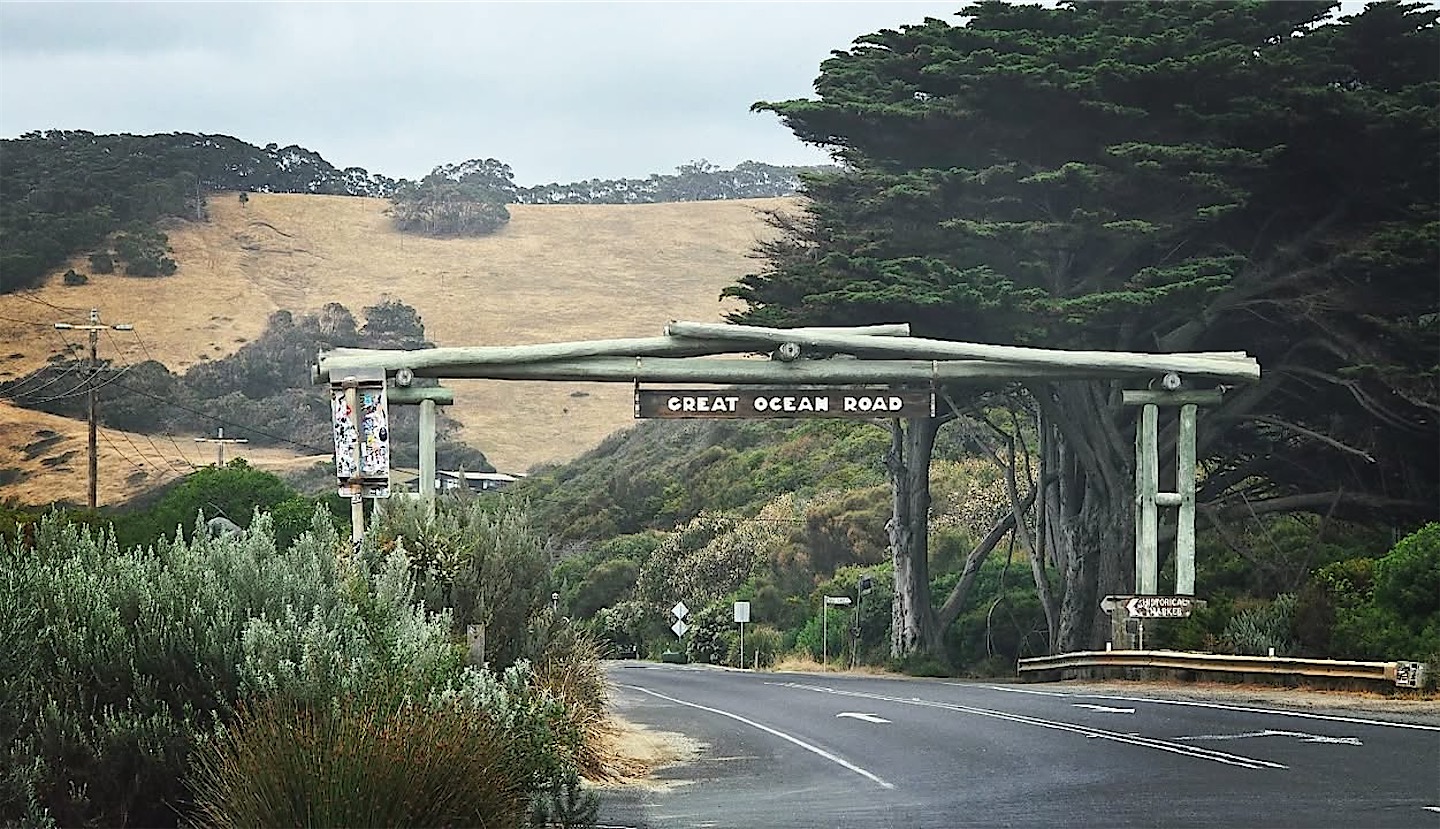
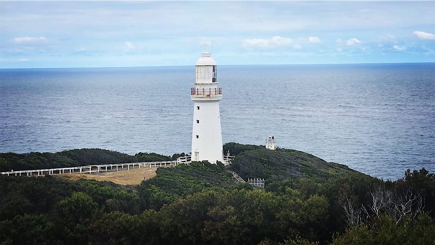
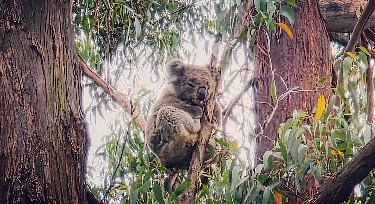
In a Toyota rental SUV I drove under the wooden memorial arch at the start of the Great Ocean Road and followed the coast past Lorne to Cape Otway. Its lighthouse is the oldest surviving one on the Australian mainland, and for most immigrants after the long voyage through the Southern Ocean it was the first thing they saw of their new country. Along the way I finally spotted a koala in the wild.
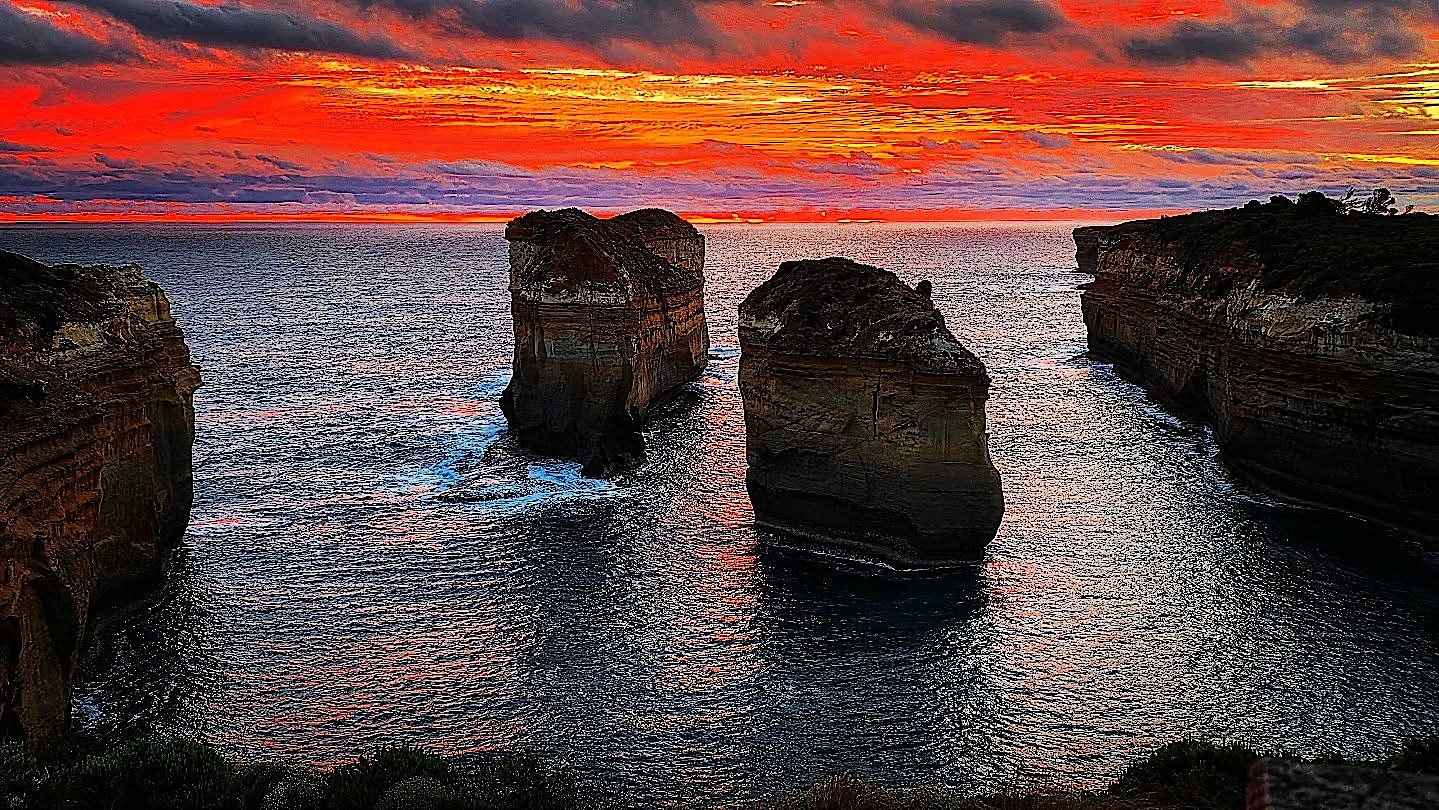
At the Razorback, a narrow limestone ridge near Loch Ard Gorge, I was lucky with an incredible sunset.
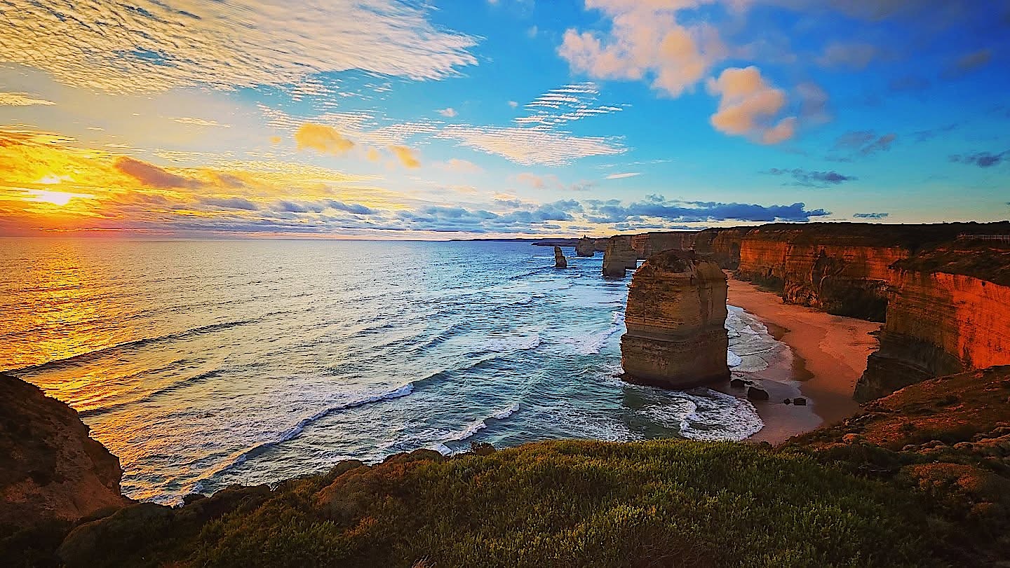
I caught the last light at the Twelve Apostles nearby. The Southern Ocean carved these stacks out of the soft limestone cliffs, and despite the name there were never twelve of them. The waves keep working, and one of them collapsed in 2005.
A shortcut, a shipwreck beach and a blue lake
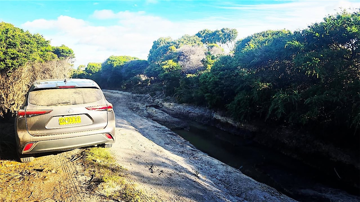
My fatal love of shortcuts struck again. A sign said "4WD only", but I was not deterred and took the track in my rental SUV. Over several kilometres it got more and more challenging: huge washouts, water, big rocks and finally sand. When the sand led into steep dunes, I turned around, since I had no off-road equipment with me at all. The detour cost me a lot of time, but the views and the kangaroos and parrots along the track made the way back enjoyable.
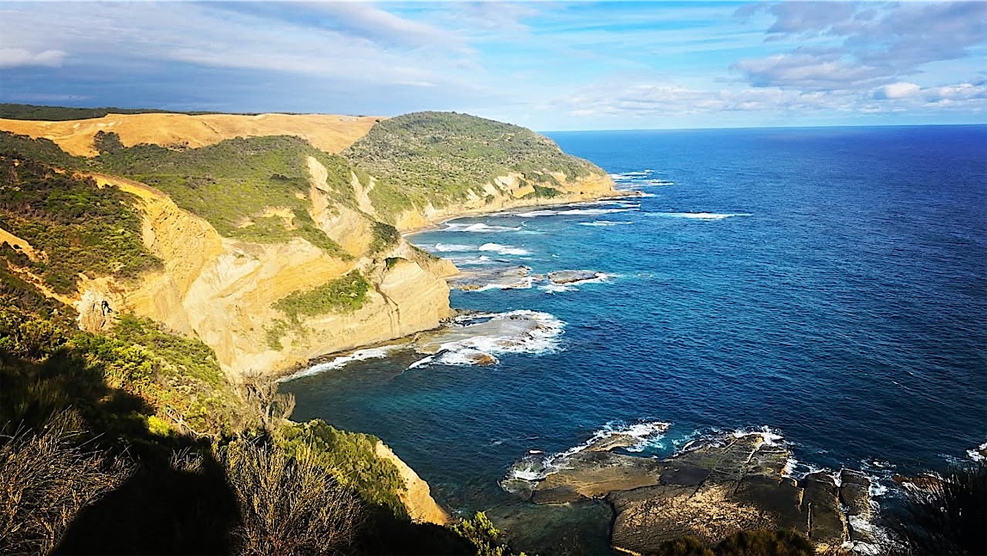
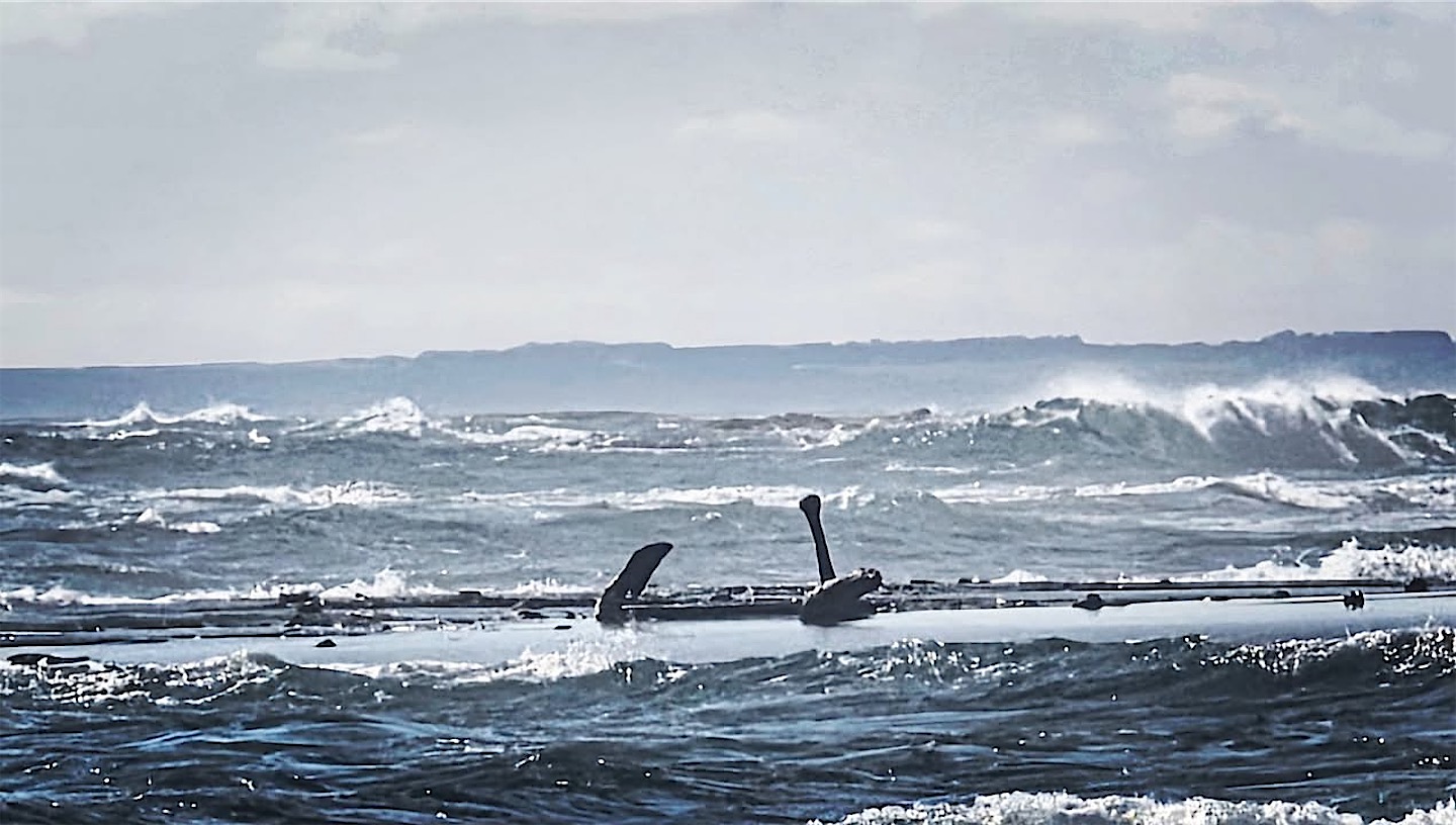
My personal highlight of the coast was Wreck Beach near Moonlight Head. Probably thanks to the 350 or so steps down and up again, I had it completely to myself. Anchors from 19th-century wrecks lie embedded in the rock shelf, a reminder of why this stretch is called the Shipwreck Coast.
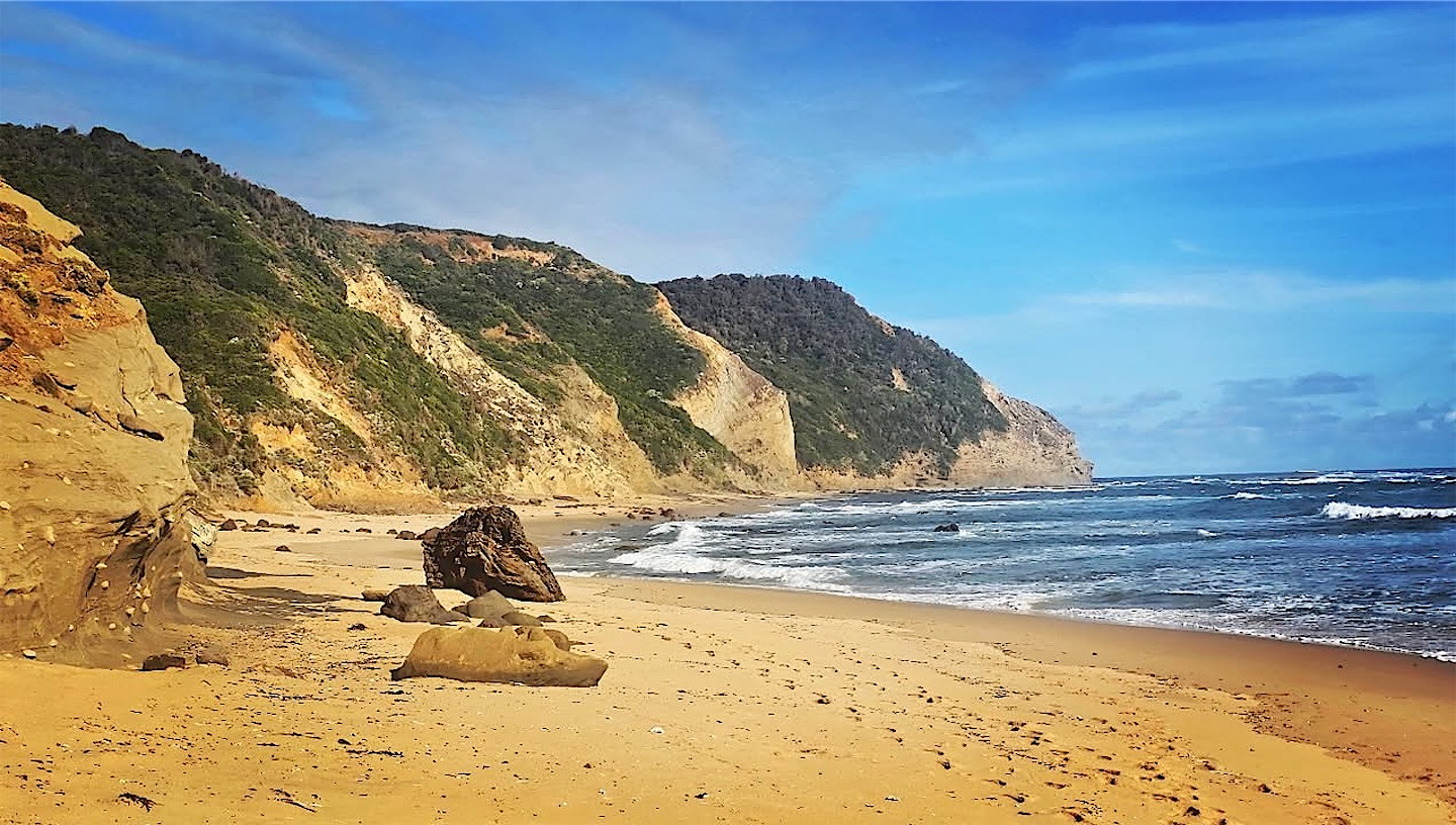
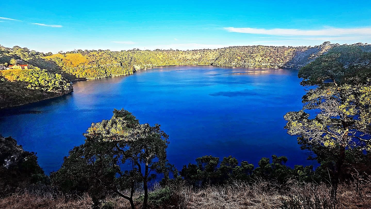
At Nelson, close to the border, I stopped at one last Victorian beach before crossing into South Australia. Mount Gambier turned out to be a surprisingly nice town, built on limestone full of caves, sinkholes and lakes. The star is the Blue Lake, and dinner was a kangaroo steak, healthy and very delicious.
I love the efficiency of Australian regional airports. Check-in doesn't even open until 45 minutes before departure, there is no security control, and the flight still left on the minute, with a great sunrise on the early hop back to Melbourne.
Flinders Island
From Melbourne I continued to Flinders Island, the largest island of the Furneaux Group between Victoria and Tasmania. On my first day a storm rolled in over the mountains. There was plenty of wildlife, but most of it ran away too quickly to photograph; only one wallaby stood still and posed.
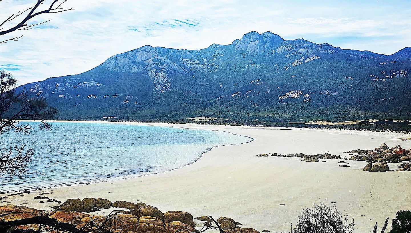
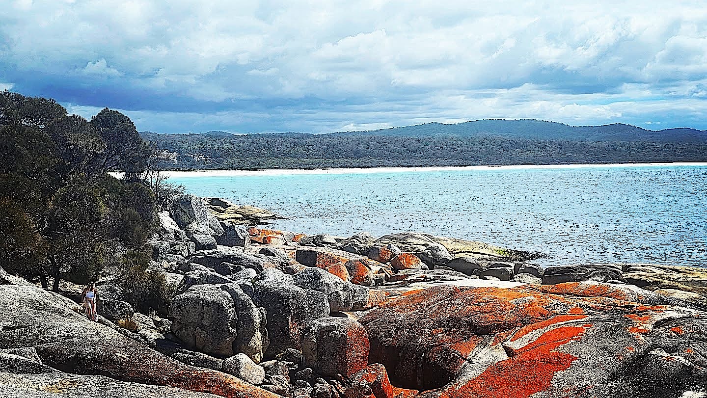
I went snorkelling in magnificent kelp forests, and only a few minutes later I learnt that great white sharks are common around the island. The next day a smooth stingray glided past me in the cold water of the Bass Strait. There are too many beaches to count, and at around 18 °C the water is perfectly swimmable. Like the Bay of Fires, Flinders has granite boulders painted orange by lichen. It is cattle country too, holding a remarkable share of Tasmania's herd for its size.
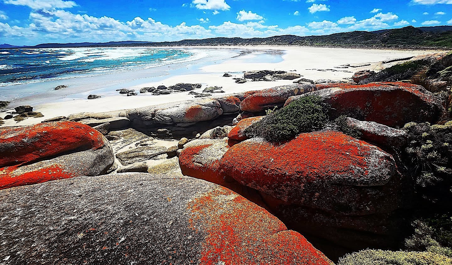
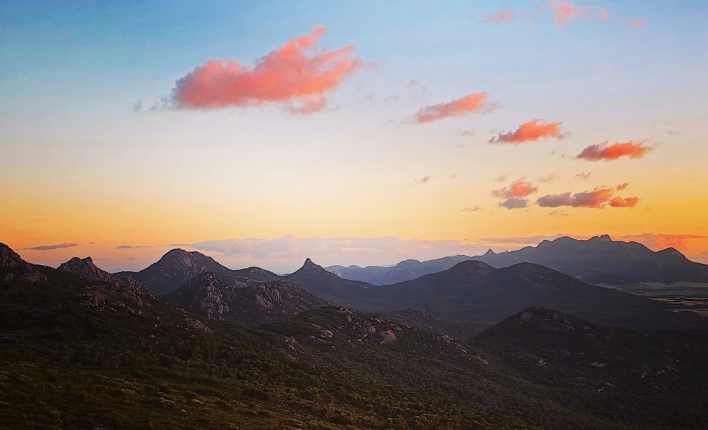
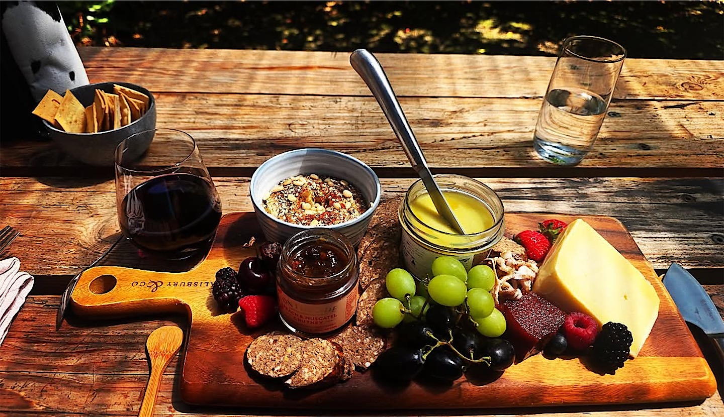
Normally I don't suffer from jet lag, but the seven hours' difference to Dubai hit me hard, and I rarely went to bed before 4 am. Luckily I can plan my days as I like: the sun set late in the evening, and I simply worked even later. For me, Tasmania is one of the best places in the world for food and drink, local, fresh and of amazing quality, like my platter with wallaby chorizo and local berries. The only winery on Flinders Island makes a great Cabernet.
The Tamar Valley and the northeast
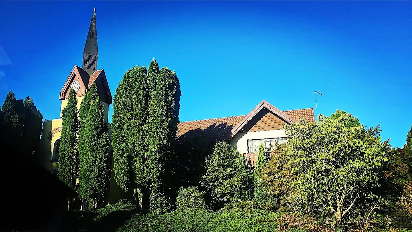
A 30-minute hop took me to Launceston on Tasmania proper. It was my last flight for a full month; I haven't flown that little since 2015. No, the next photo isn't Switzerland but Grindelwald in the Tamar Valley, an Alpine-style village built in the 1980s by a Dutch-born Tasmanian businessman after a stay in the Swiss original. The valley is famous for its fruit, especially berries, and anyone who knows me knows how much I love berries. The day ended with another great sunset at Low Head, where a pair of penguin sculptures reminded me that I would soon be seeing plenty of real ones.
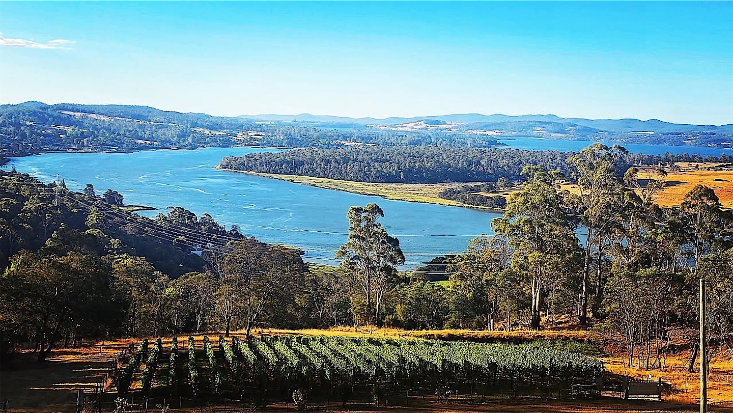
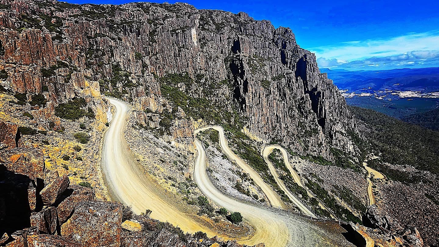
Next morning I drove up Jacob's Ladder, the highest road in Tasmania, a gravel road that zigzags up the cliffs of the Ben Lomond plateau. Then I headed to the coast at the Bay of Fires.
Freycinet and Wineglass Bay
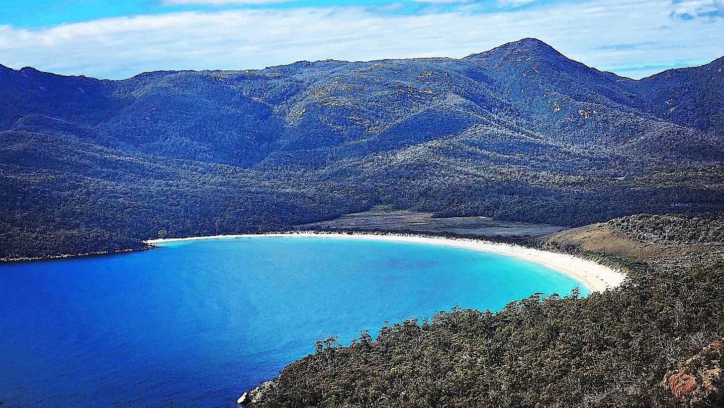
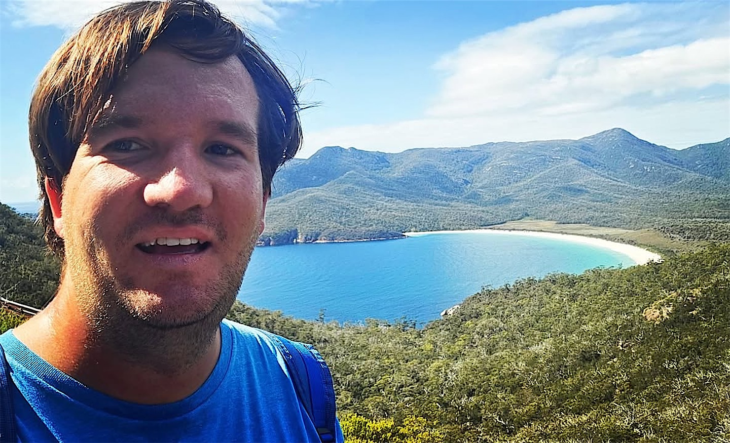
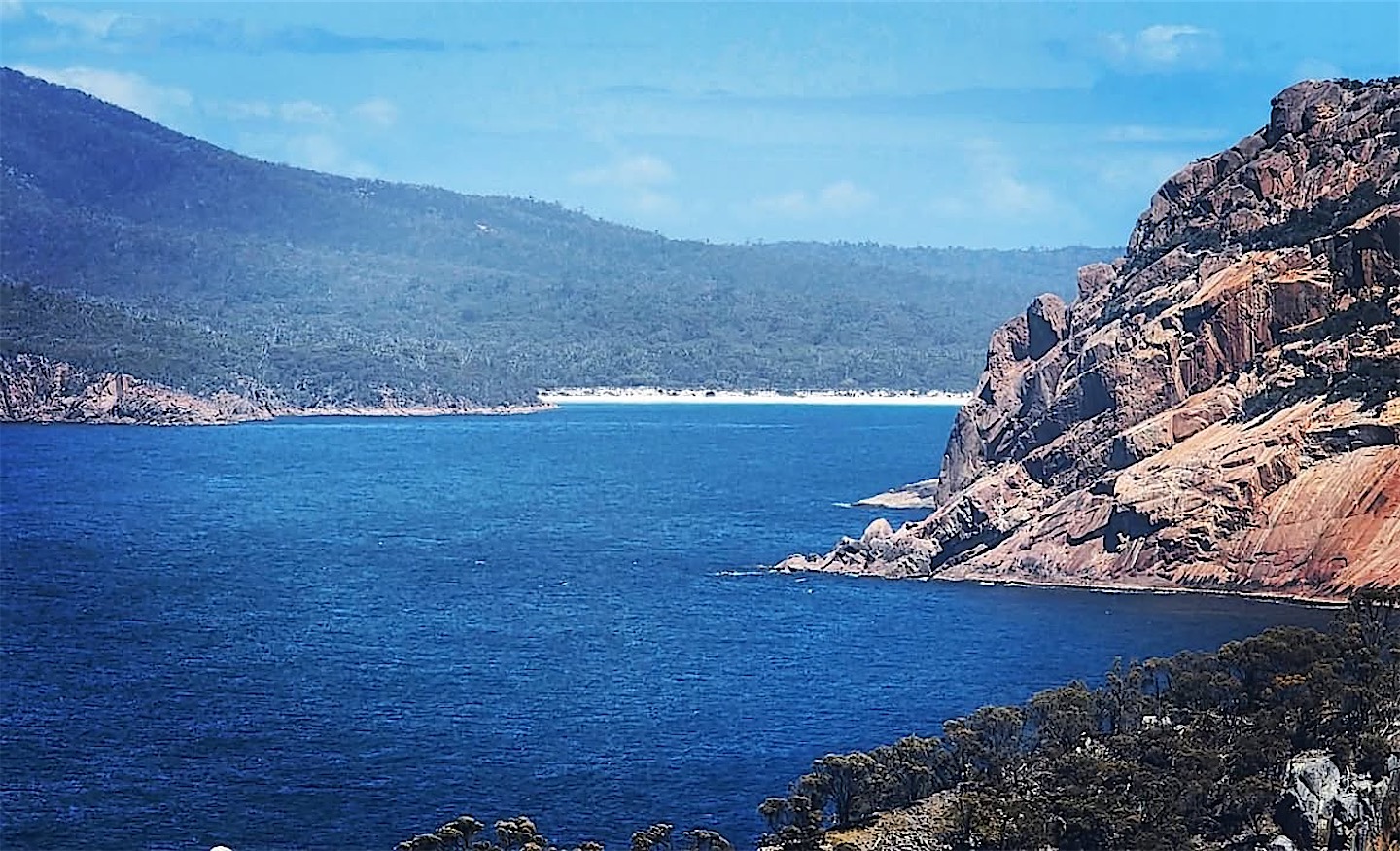
In Freycinet National Park, one of Tasmania's two oldest, I had a strange coincidence. In May last year a stranger approached me on the streets of New Orleans. Nine months later we met again by pure chance at my hotel in Freycinet, both arriving for dinner at the same moment. The next morning I hiked up to the lookout over Wineglass Bay.
The perfect curve of the bay is framed by the pink granite peaks of the Hazards. One explanation for its name goes back to the whaling days, when the water was said to turn red like wine.
Seadragons on the Tasman Peninsula
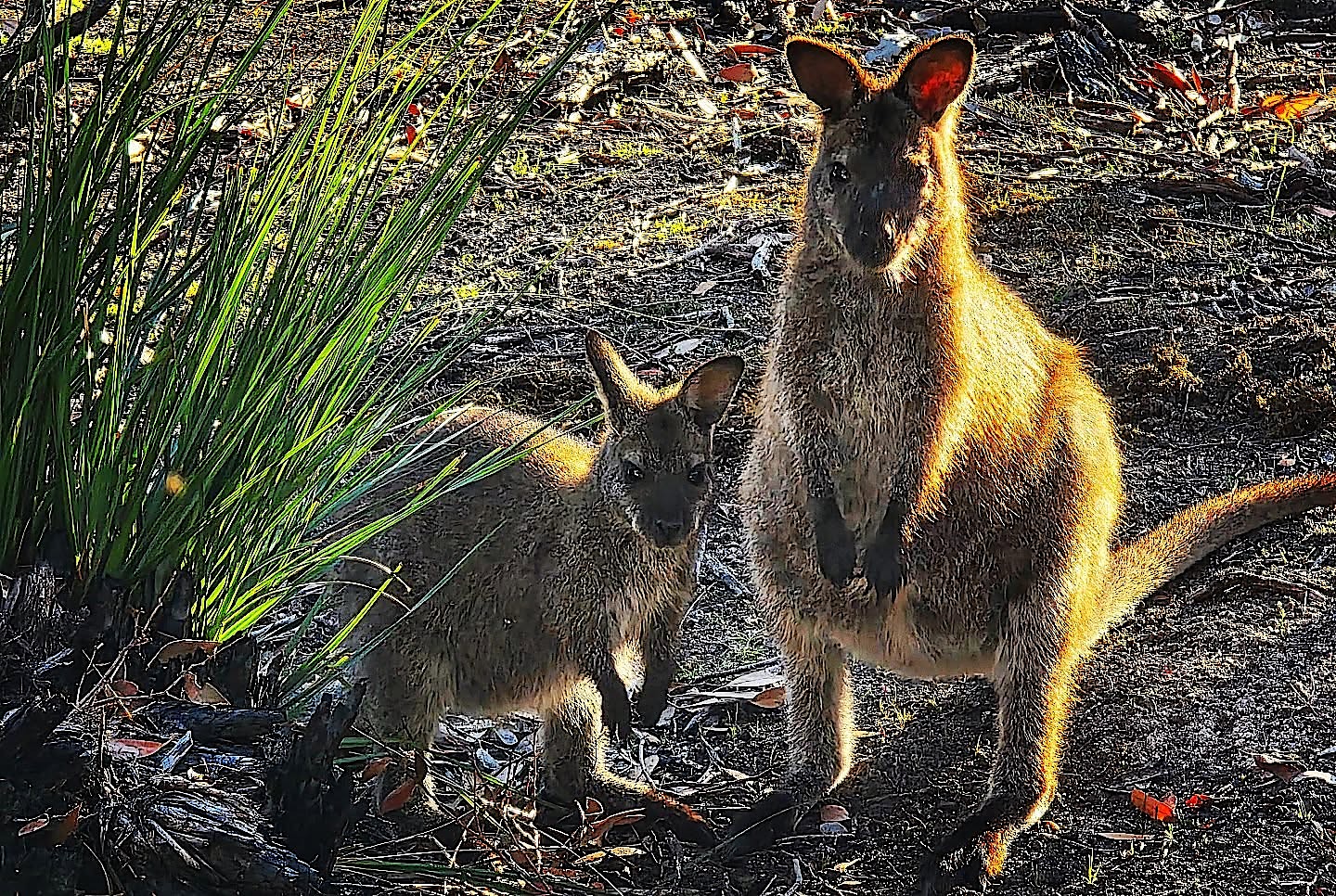
On the Tasman Peninsula I met a wallaby mother with her joey, and my favourite Tasmanian road sign is the one that warns of devils. Why go diving in the cold waters of Tasmania? Because of the weedy seadragons, and I was lucky. In a heavy 9 mm wetsuit I also met draughtboard sharks, cuttlefish and many other species in the kelp forests of southern Tasmania.
Port Arthur and farewell
I spent my last 24 hours in Australia at Port Arthur and around Hobart.
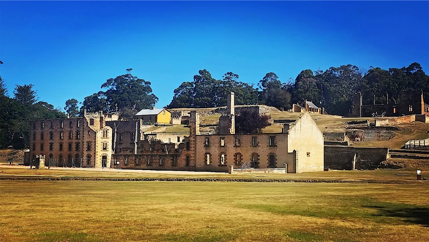
Then it was time to board. Ahead lay a month from Tasmania to South Africa, exploring the almost untouched Antarctic coast and the hard-to-reach French Southern Lands on the way. I had waited more than two years for this day, and luckily a few friends joined me. The forecast promised winds of over 100 km/h and swells of 8 to 10 metres, mostly from behind, so we would be surfing towards Antarctica for four days.
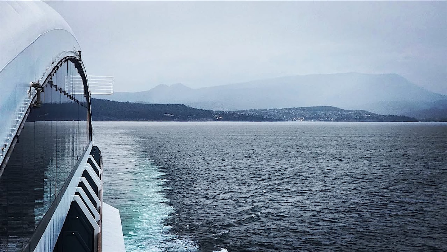
Conditions on the first day at sea were not too bad, and I worked efficiently all day from my cabin, my little empire for the next 30 days. Next stop: the South Magnetic Pole. The story continues with the voyage along the remote coast of East Antarctica.