Mirrors of Salt and Mountains of Colour: A Road Trip Through Northwest Argentina
30 March – 7 April 2026 · San Miguel de Tucumán, Quilmes, Cafayate, Cachi, Salinas Grandes, Humahuaca, Tilcara, Salta, Buenos Aires · Region: Argentina (Tucumán, Salta, Jujuy, Buenos Aires)
After a road trip up the Atlantic coast (that story is in coastal Patagonia and Península Valdés), I flew from Bahía Blanca to San Miguel de Tucumán at the end of March 2026 for one more week in Argentina. This time a friend joined me for a drive through Tucumán, Salta and Jujuy, from subtropical lowlands up to the salt flats of the high Andes. Our car was only a two-wheel-drive SUV, but it served us well on every pass and gravel road.
Tucumán: cloud forest and the birthplace of Argentina
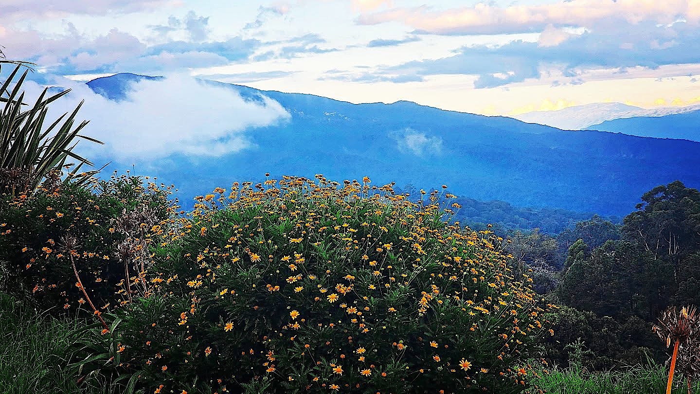
After Patagonia, Tucumán felt almost tropical. Argentina's smallest province is known as the Garden of the Republic, and above the city a statue of Christ on the Cerro San Javier looks out over the plain from the edge of the Yungas. Yes, Argentina also has jungle and cloud forest.
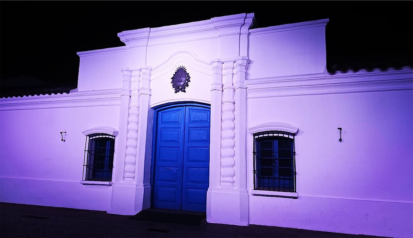
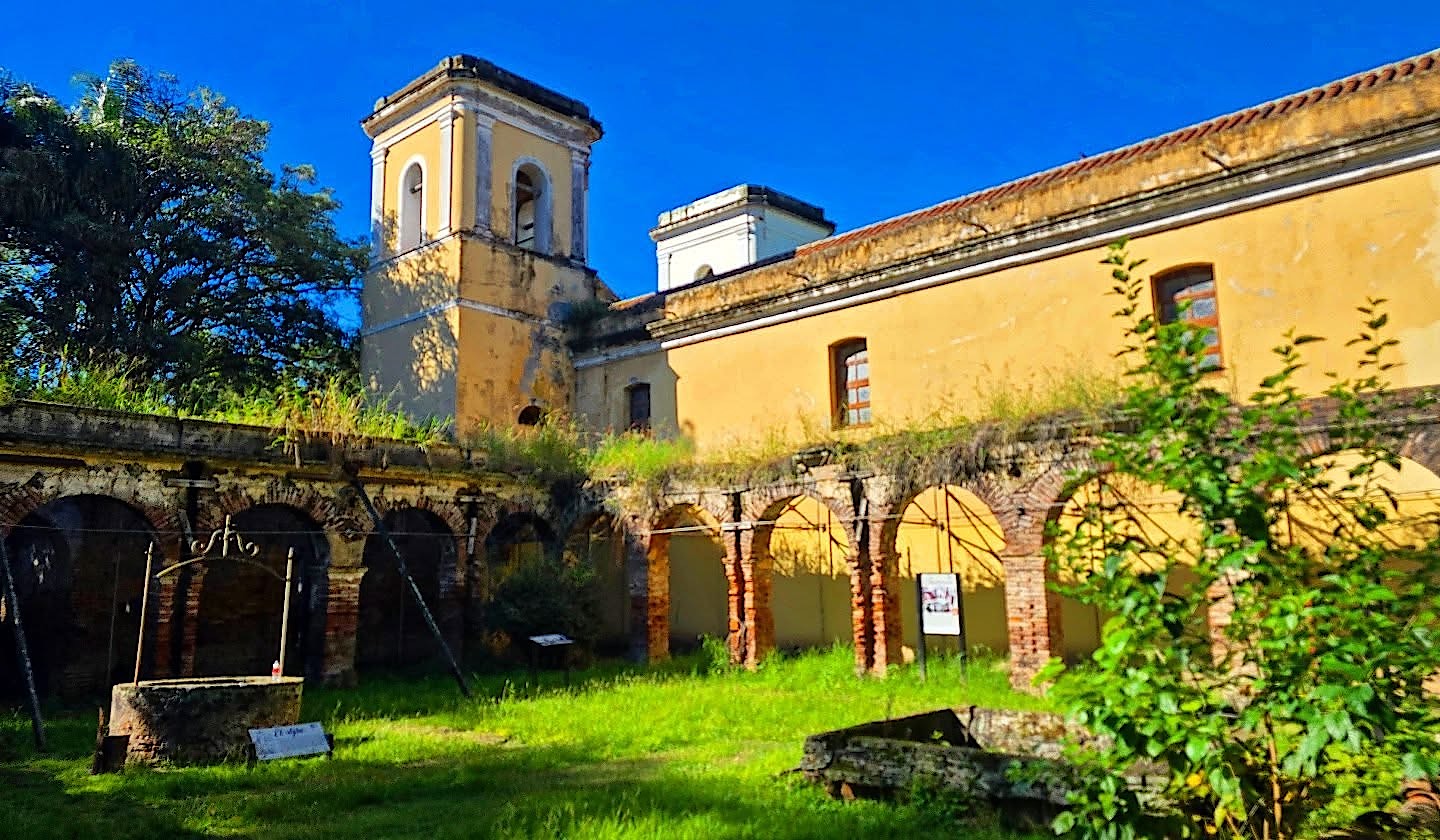
Back in the city we stood in front of the house where Argentina was born: here, on 9 July 1816, delegates of the United Provinces declared independence from Spain. Most of the building was later torn down and rebuilt, but the hall of the declaration survived. We also visited an old Jesuit mission outside the city, a relic of the order's work here before Spain expelled it in 1767, and tried Fernet and cola, the quintessential Argentine aperitif.
Quilmes and the vineyards of Cafayate
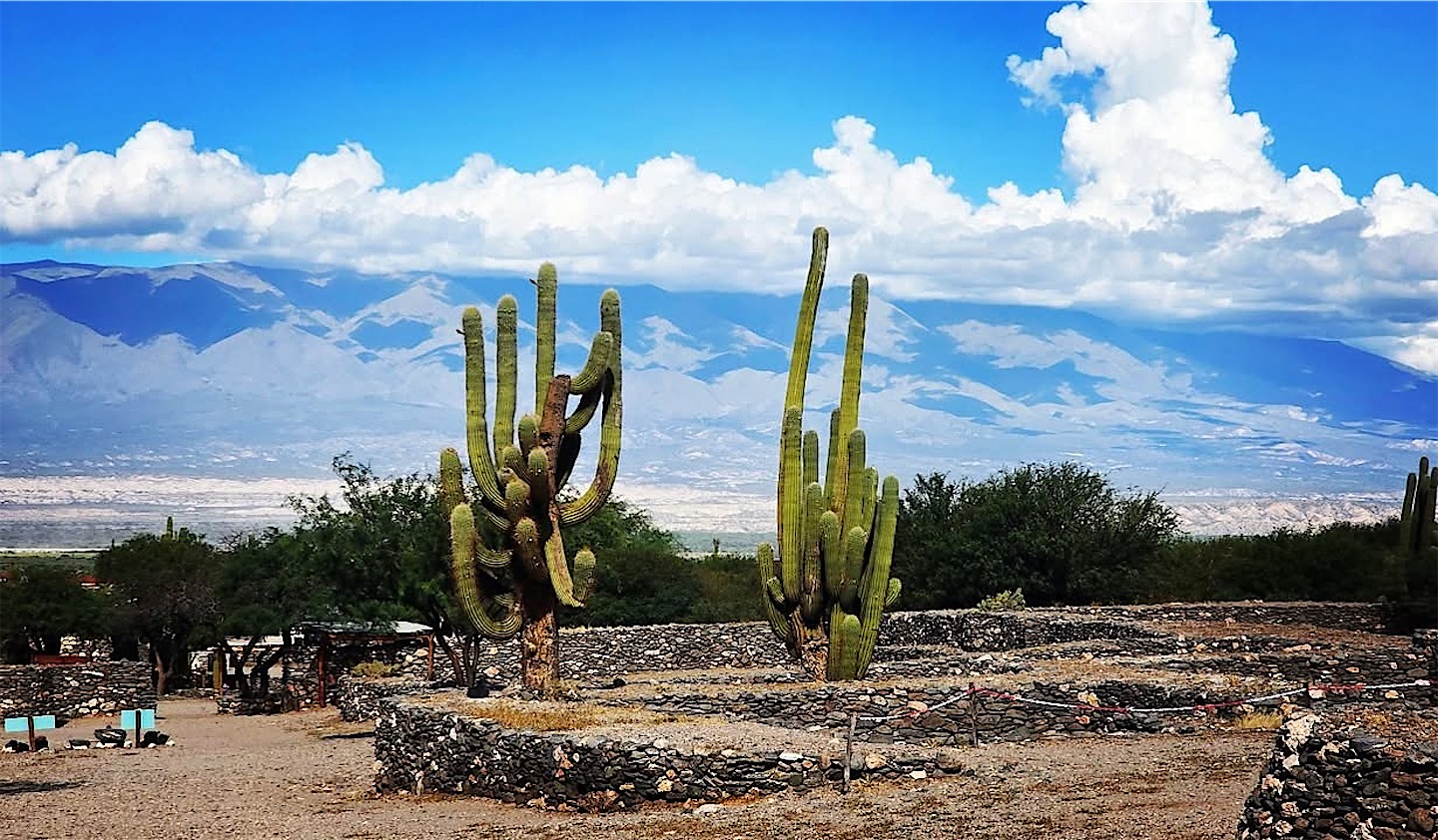
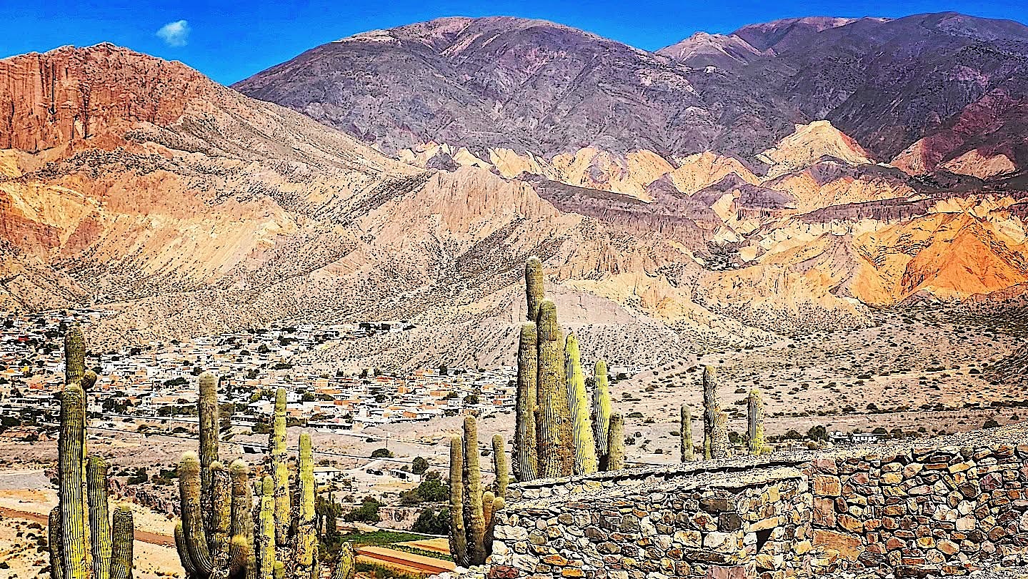
From the lowlands the road slowly climbed, and the landscape changed from cloud forest to alpine meadows and finally to dry, open mountain country. Our first stop on the other side was the Ruinas de Quilmes, the terraced remains of a fortified town on a mountainside, guarded today by giant cardón cacti.
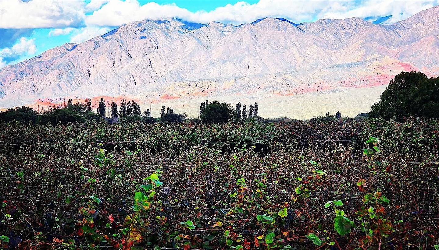
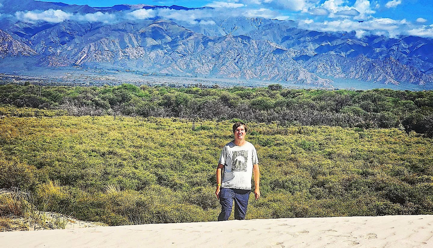
We spent a relaxed evening with wine in Cafayate and woke up in the middle of the vineyards. It is not Mendoza's Uco Valley, but it is a wonderful wine region with excellent resorts. Before leaving we explored the dunes outside town and a canyon where wind and water have carved red sandstone into towers, walls and windows.
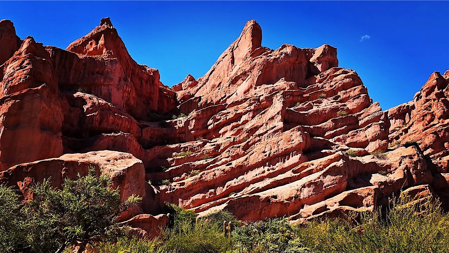
Gravel roads to Cachi
From Cafayate we followed Ruta 40 north through the Valles Calchaquíes. Argentina's longest road runs more than 5,000 kilometres from Patagonia to Bolivia, and on this stretch it is mostly gravel. We passed Molinos and other small villages, and after six dusty hours I had given up counting the landscapes. You wouldn't expect a fine boutique hotel at the end of such a drive, but Cachi had one, and as on every evening of the trip, dinner with local dishes was excellent.
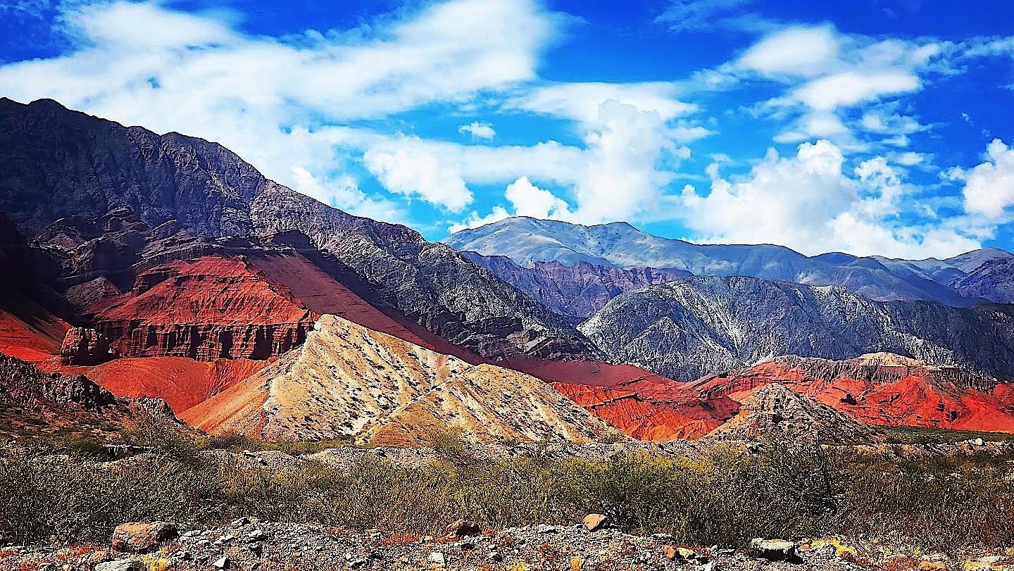
Cachi is one of the best-preserved colonial villages of the valleys, overlooked by the Nevado de Cachi at well over 6,000 metres. We stayed only one night, because the next day would be the longest drive of the trip.
Over the Cuesta del Obispo to almost 5,000 metres
We set off at 6 a.m. The direct route north on Ruta 40 towards San Antonio de los Cobres was in bad condition, so we took the long way round: through Los Cardones National Park, down the Cuesta del Obispo to the Lerma Valley near Salta, and then back up to the high plateau. The early start paid off with a sunrise over the ridges, and on the far side of the pass the road wound down into steep green valleys.
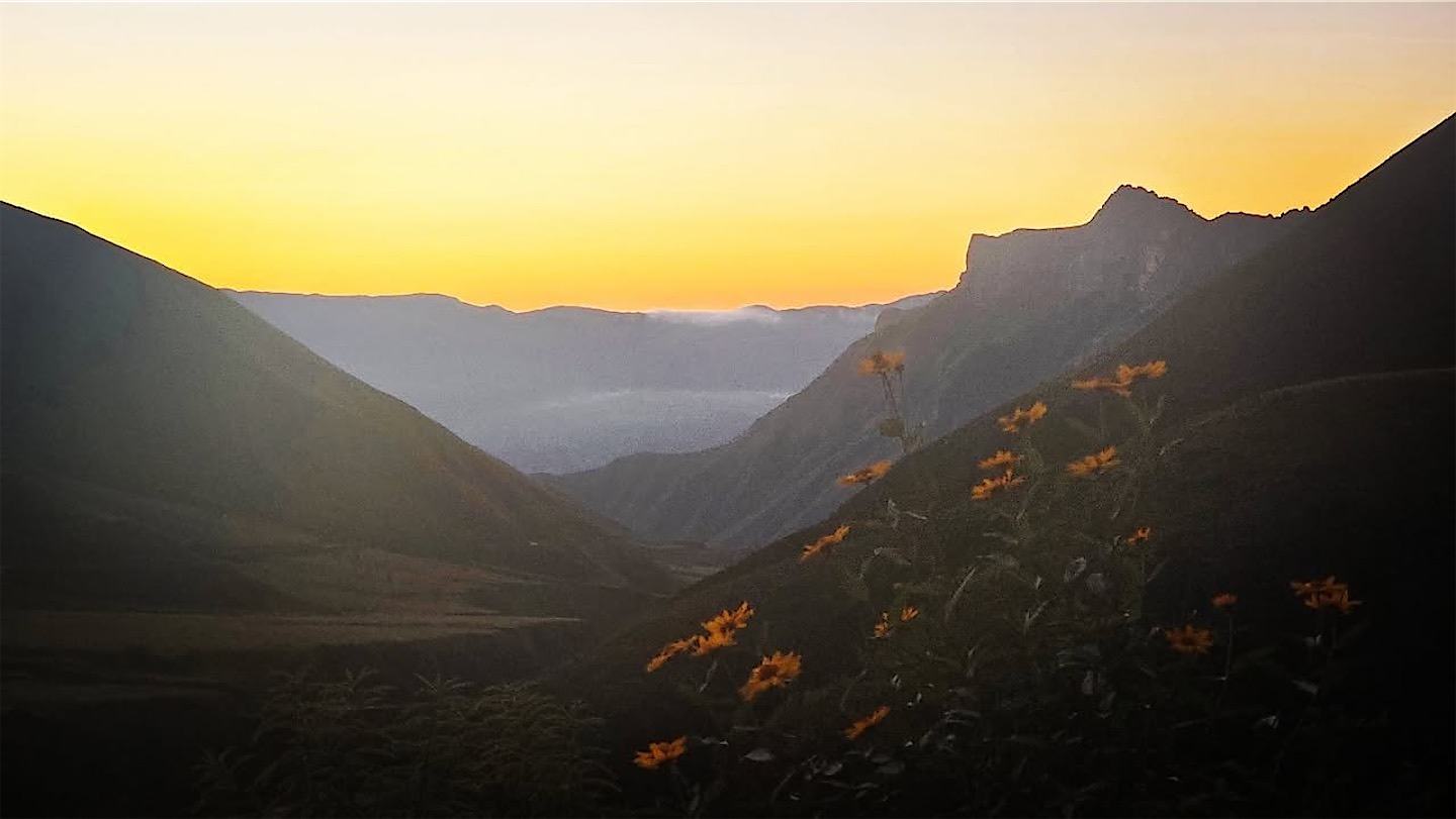
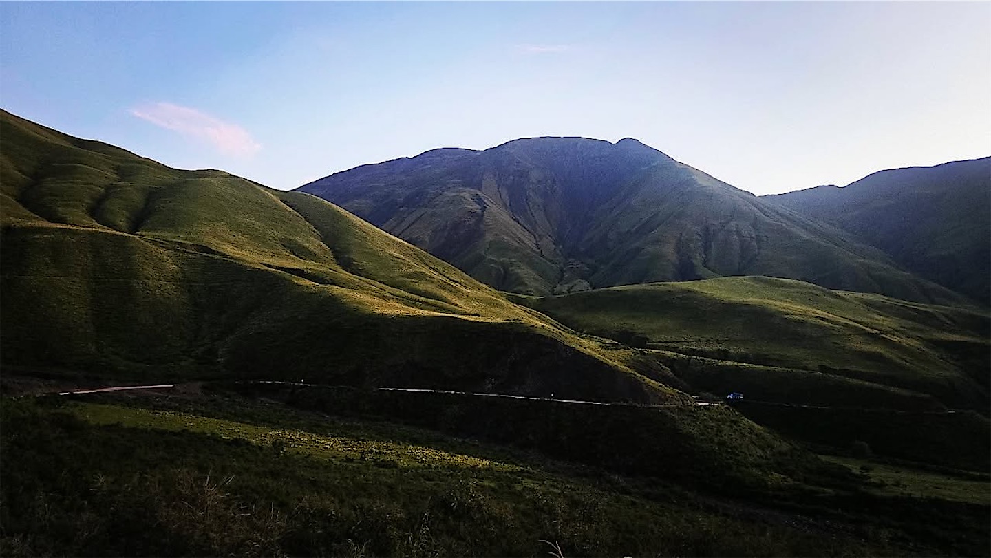
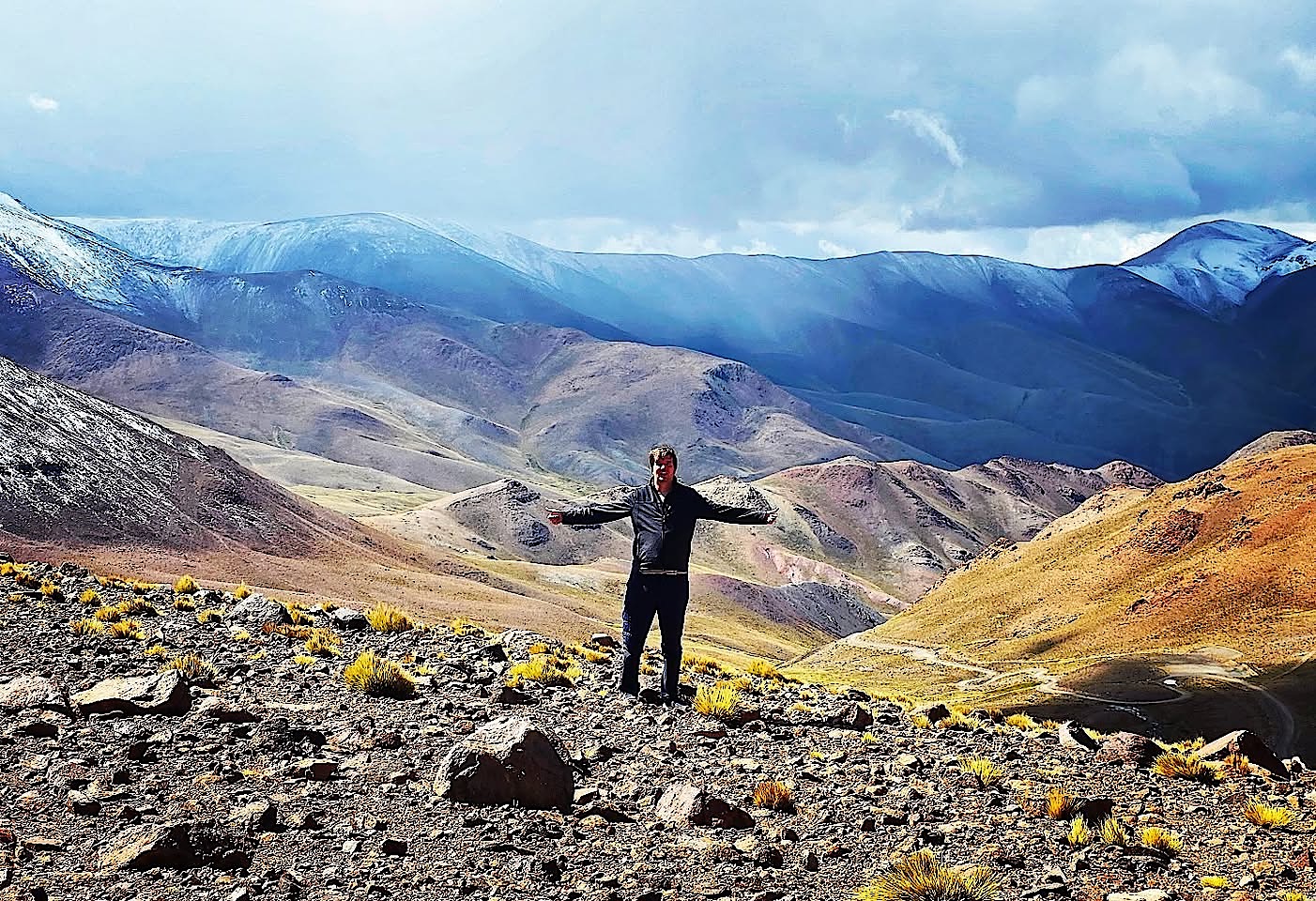
Despite the detour we still made it to the Abra del Acay, this time from the northern side. The sign at the top reads 4,895 metres. It is the highest point of Ruta 40 and one of the highest road passes in the world. The air was thin, but the views over the coloured ranges were great.
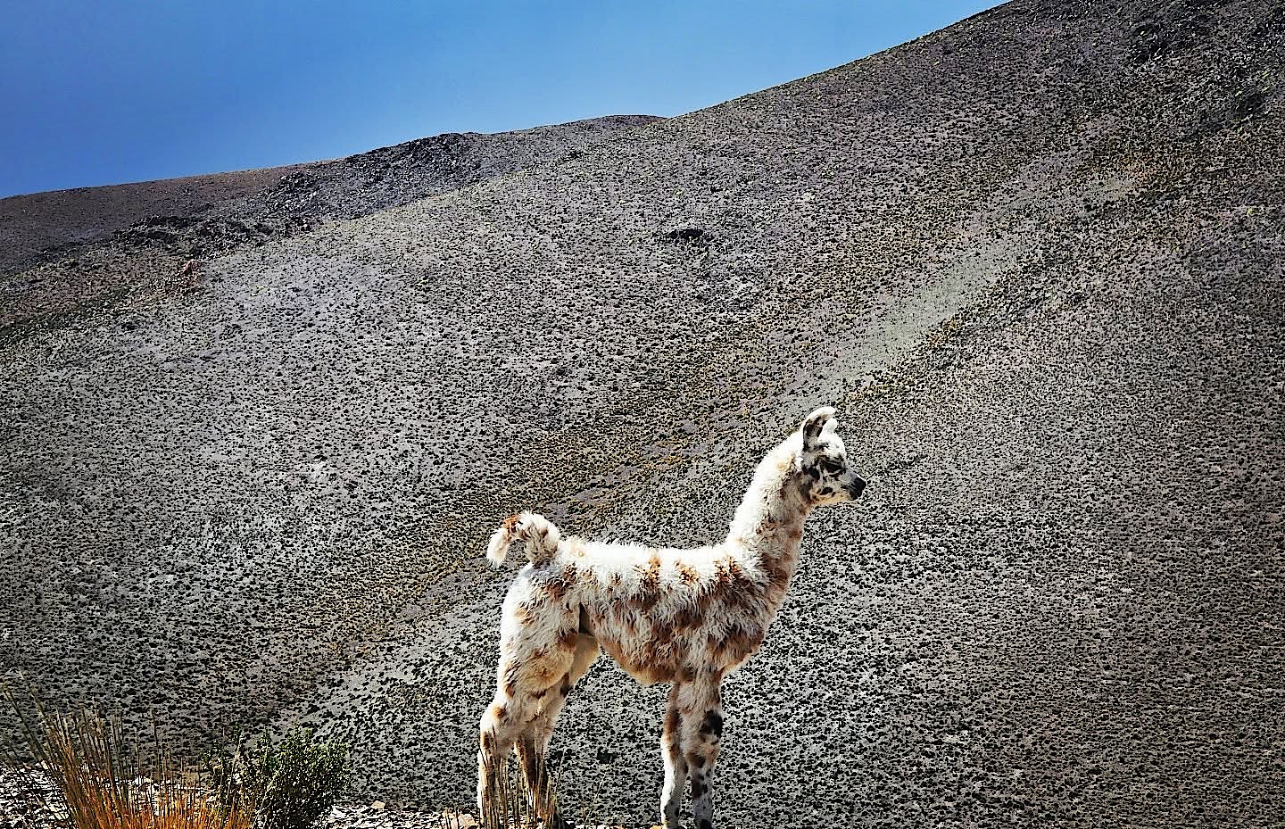
Then we continued to San Antonio de los Cobres, a mining town at almost 3,800 metres on the Puna, the cold, dry plateau of the central Andes. Even the drive from there to our hotel was spectacular.
A night on the Salinas Grandes
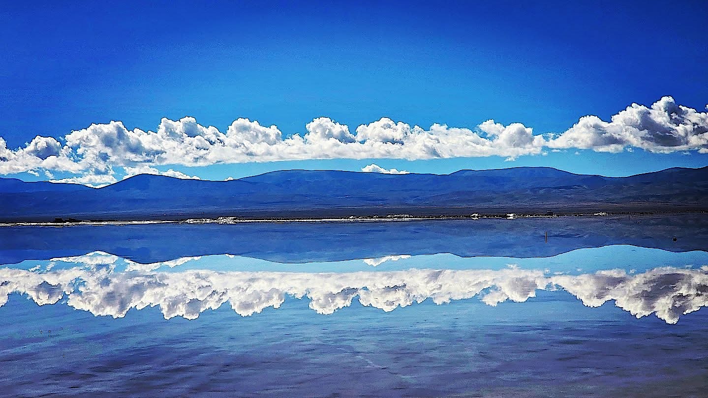
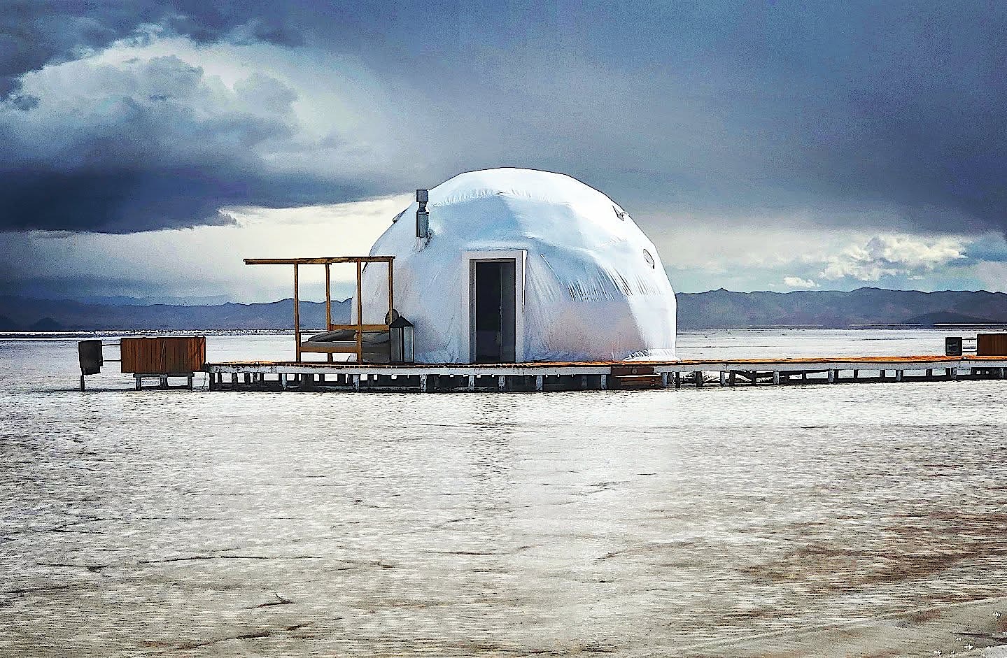
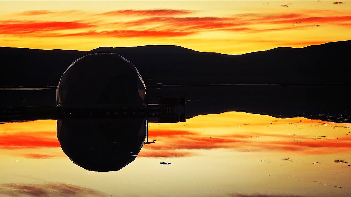
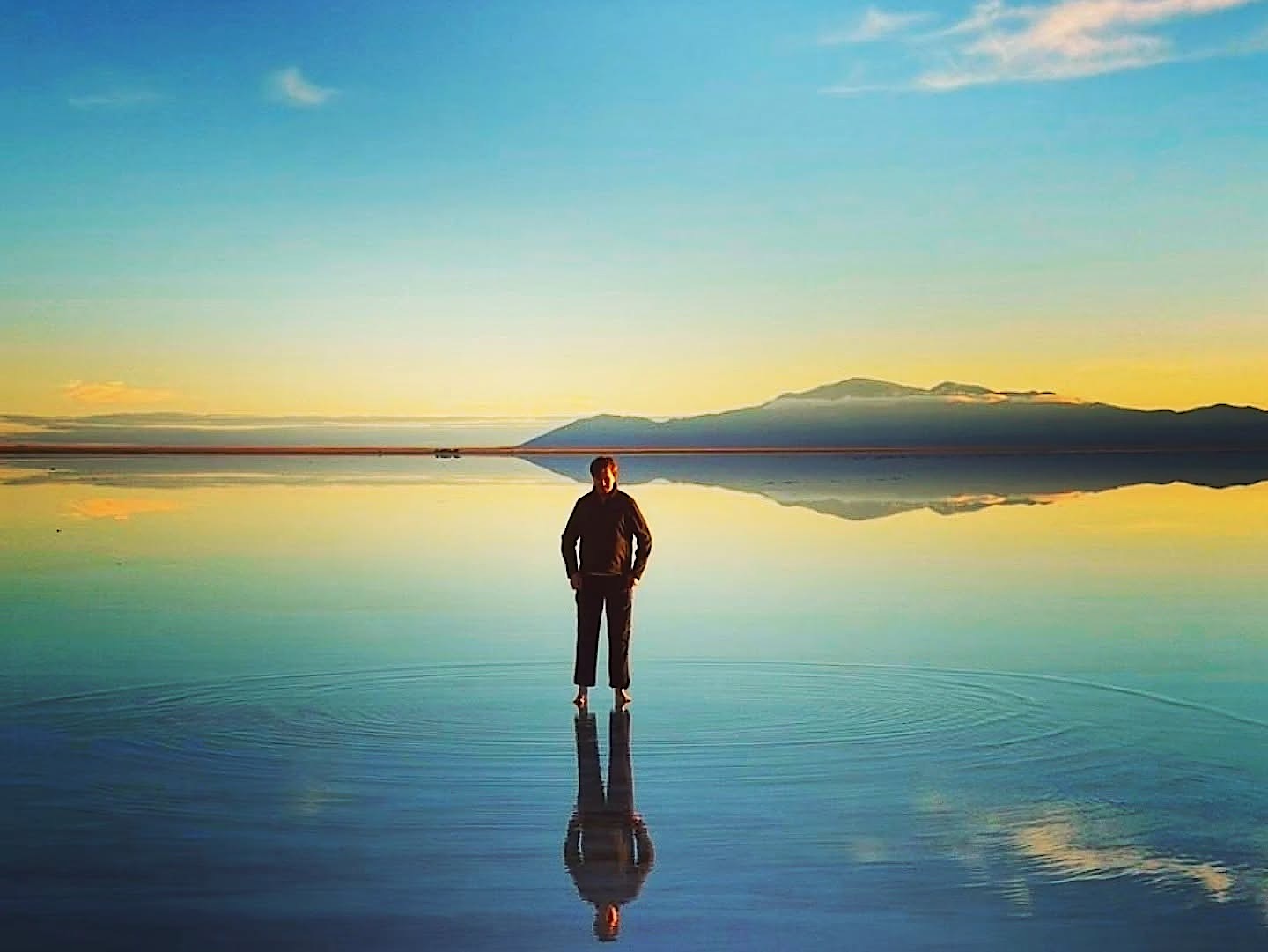
Our hotel was one of the most exclusive lodges in the country: a handful of white domes on wooden decks right on the Salinas Grandes, at about 3,400 metres. A thunderstorm rolled in just as we arrived. Not ideal, but the rain left around ten centimetres of water on the salt, and the whole flat turned into a mirror. The sunset was little more than a red line under the clouds, so the real show came the next morning.
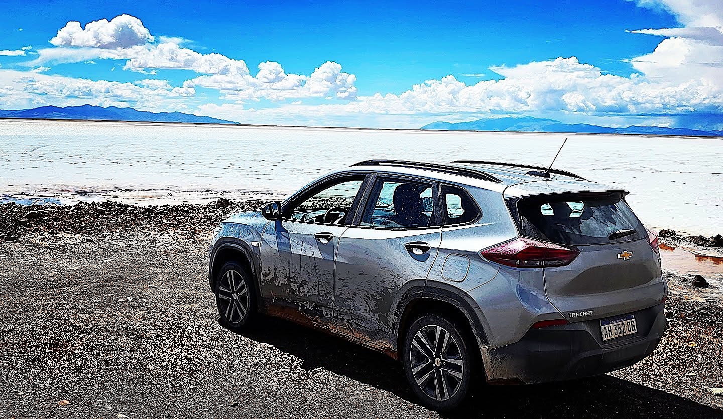
Getting up early is an obligation here. The water was icy after the night, but the sunrise colours were intense, and later the sky cleared to a deep blue with every cloud doubled in the salt. It felt like the largest mirror in the world.
The Quebrada de Humahuaca and the Hornocal
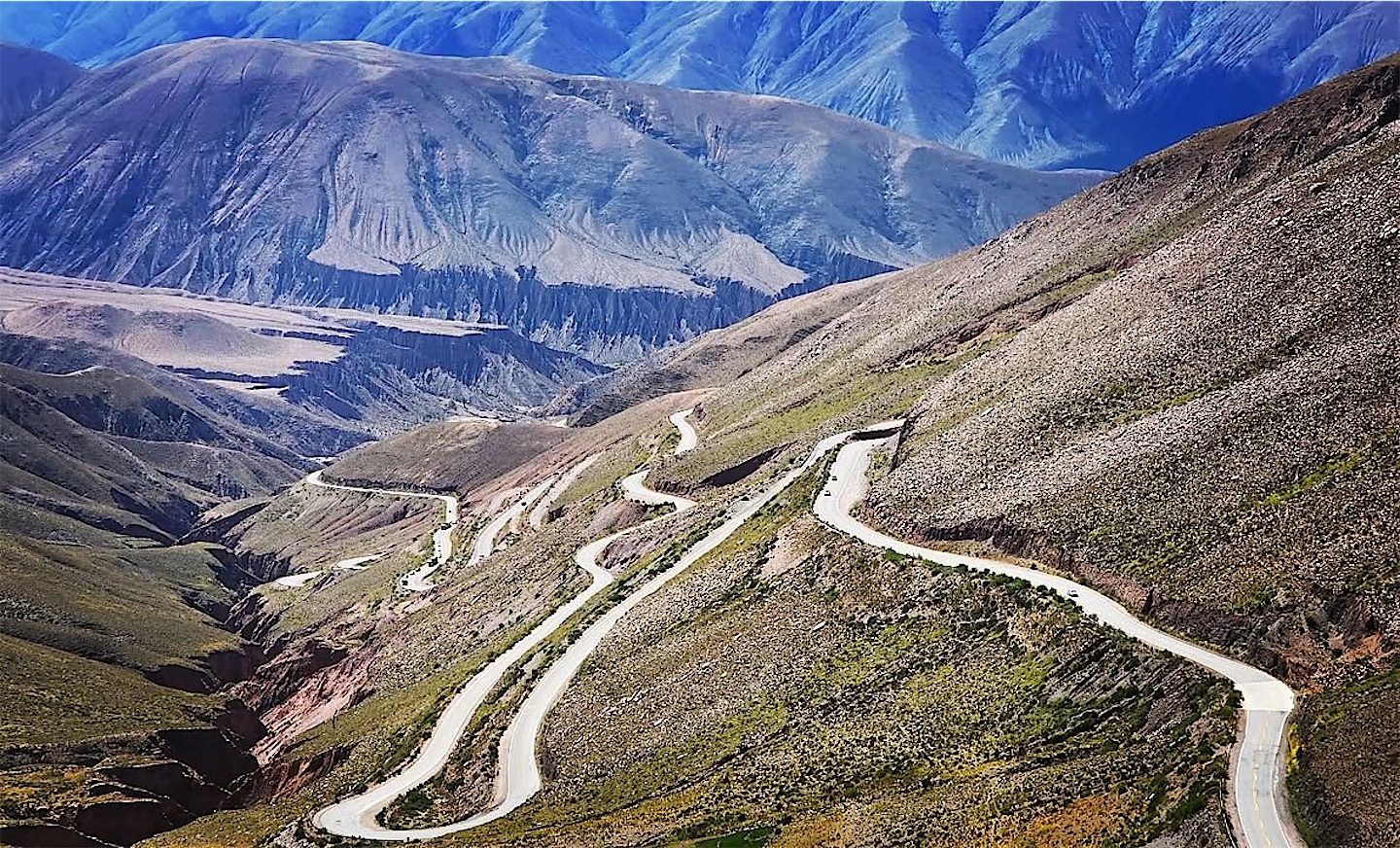
From the salt flat the road drops down the Cuesta de Lipán in a long series of hairpins into the Quebrada de Humahuaca, the great valley of Jujuy.
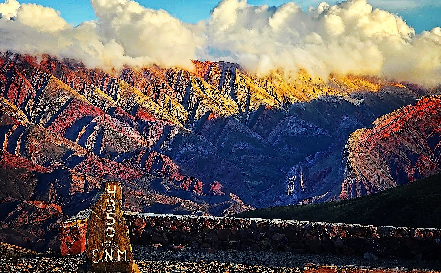
We drove north to Humahuaca and up a gravel road to the viewpoint of the Hornocal, the "mountain of fourteen colours". At 4,350 metres it was high, but it was beautiful, and standing there I was ready to call Argentina the best country on the planet.
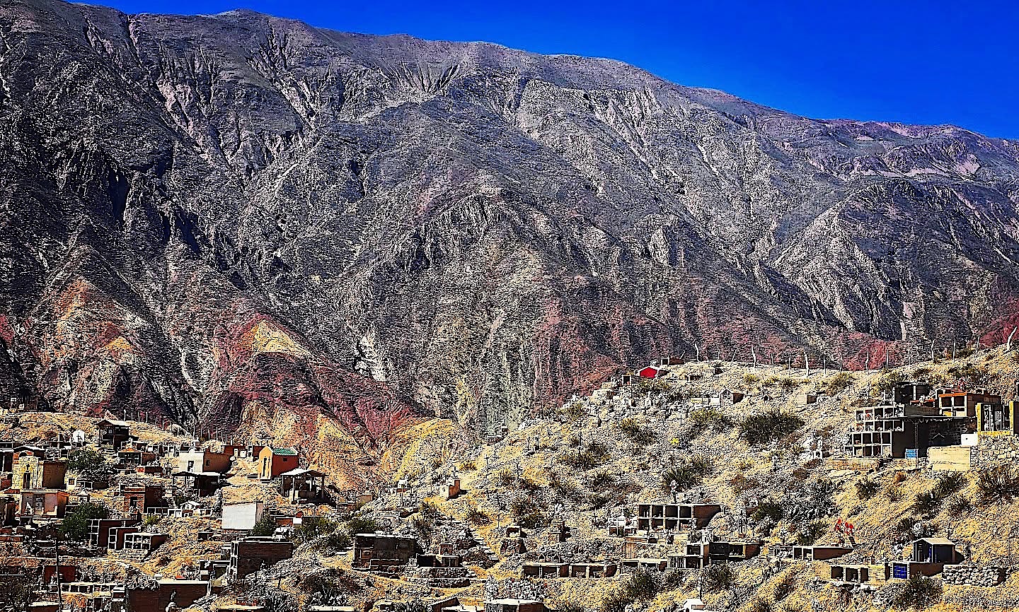
On the way back south we explored the Pucará de Tilcara, a fortified hilltop settlement of the local Omaguaca people that was later used by the Inca. Archaeologists from the University of Buenos Aires partly rebuilt it in the 20th century. A little further on, the cemetery of Maimará climbs a hillside below the striped slopes known as the Painter's Palette.
Salta and the Train to the Clouds
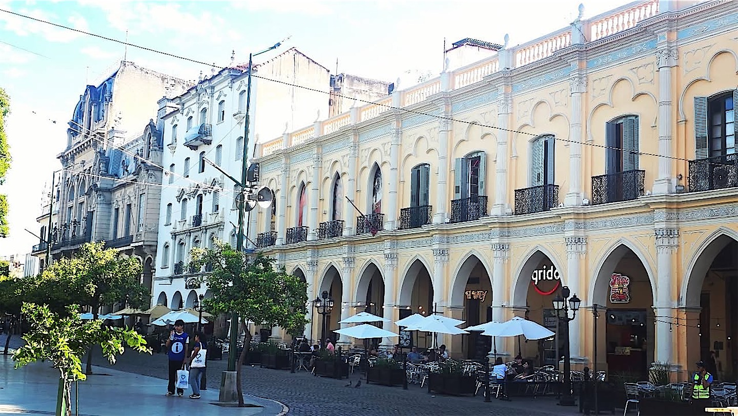
From the Puna to the jungle: south of Jujuy the bare mountains gave way to forested hills, and in the evening we finally reached the beautiful colonial city of Salta and its Plaza 9 de Julio.
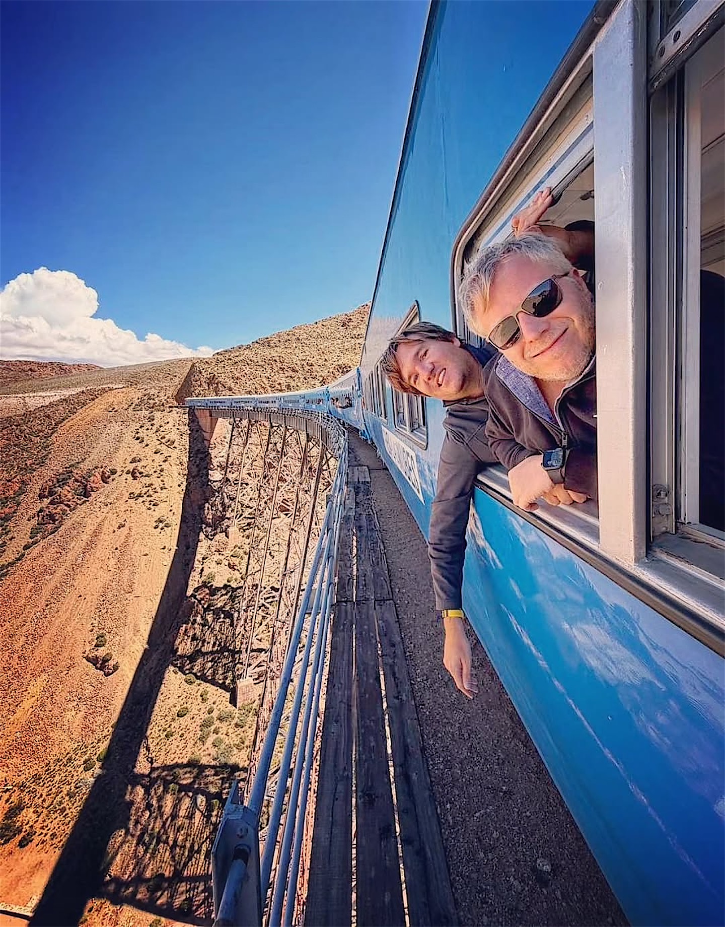
The next day we took the Tren a las Nubes to the La Polvorilla viaduct. At the bridge, the passengers raise the Argentine flag and sing the national anthem, and of course we joined in. I also received a blessing from an indigenous Catholic priest, which turned out to be useful for what came next.
Buenos Aires and the Tigre delta
On Easter Sunday I flew to Buenos Aires. My low-cost airline had moved the flight to the other Buenos Aires airport, brought it forward by an hour and put me on standby on the busiest weekend of the year, without telling me. In about 1,000 flights I had never seen anything like it. Luckily Aerolíneas Argentinas had one expensive seat left, and I made it to that evening's Staatenlos meetup with around 60 people.
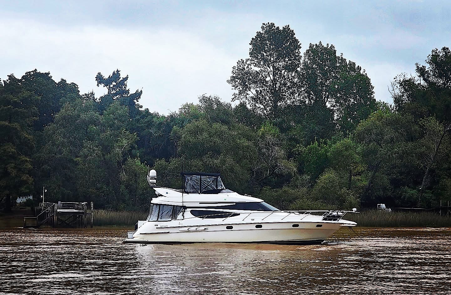
The next day we chartered a yacht with the team and friends for a day in the Tigre delta. Unfortunately it rained. Tigre, north of the city, is the gateway to the Paraná Delta, a maze of islands where houses stand on stilts and boats serve as buses.
On 7 April I left from Ezeiza on what is said to be the longest flight in the world by flight number: 29 hours to Shanghai on the same plane, with a refuelling stop in Auckland. Buenos Aires and Shanghai are almost exact antipodes, so drilling through the planet would have been the shorter route. From Shanghai I continued to Vladivostok, and the story goes on in the Russian Far East and Kamchatka.