
Ball's Pyramid and My First Devil: Lord Howe Island and Western Tasmania
17–25 March 2025 · Sydney, Lord Howe Island, Penguin, Stanley, Cradle Mountain, Lake St Clair, Westerway, Tasman Island, Hobart · Regions: Australia (New South Wales), Lord Howe Island, Tasmania
After Chiloé and Robinson Crusoe Island I flew from Santiago to Sydney on a route that swung so far south it almost touched Antarctica. Two Australian territories were still missing from my list, as I had noted when writing about Western Australia, Christmas Island and the Cocos (Keeling) Islands: Lord Howe Island, a speck of volcanic rock in the Tasman Sea, and Tasmania, which travellers' clubs count separately from the mainland.
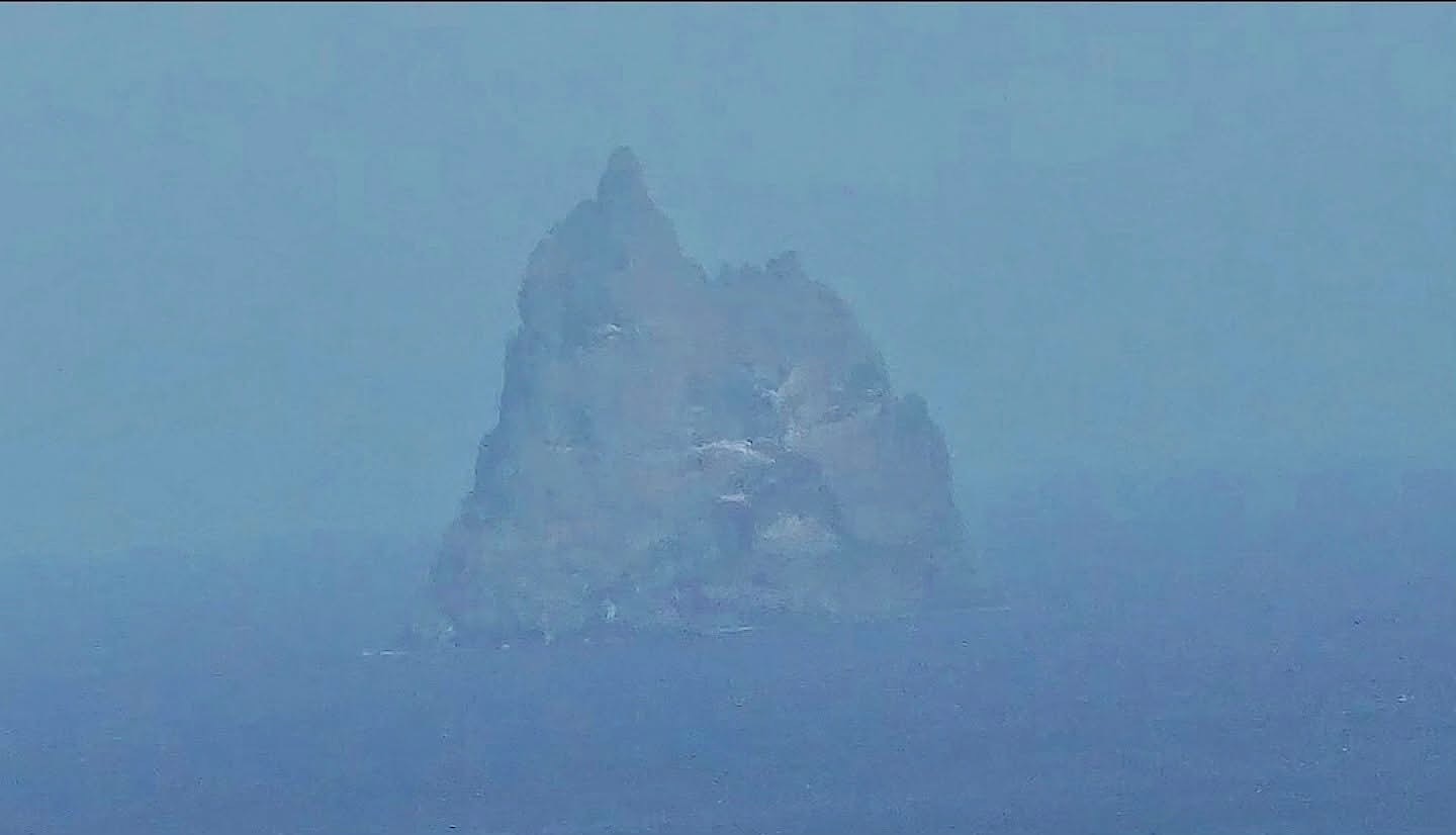
Ball's Pyramid through the haze
The short flight out of Sydney began with a fine view over the harbour. Then, still from the plane, I finally saw Ball's Pyramid with my own eyes, a jagged spire alone in the ocean. From about 20 kilometres away and through the haze it was more silhouette than detail, but I planned to get much closer by boat and by plane over the next days. Lord Howe was number 321 of the 330 territories on the Travelers' Century Club list. My first afternoon there was a rainy one.
The southernmost coral reef
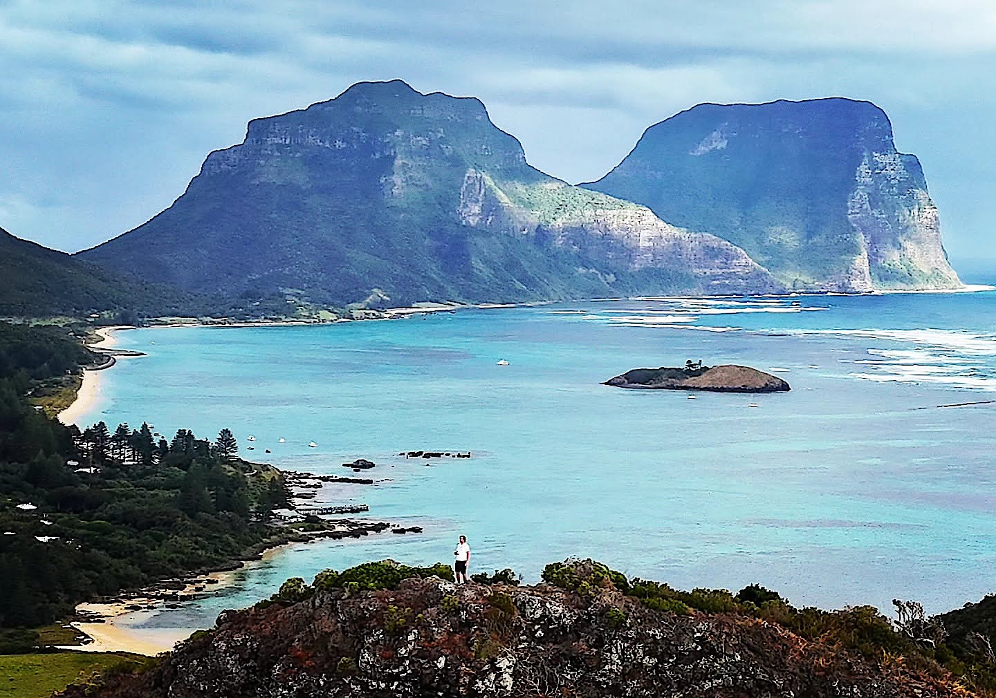
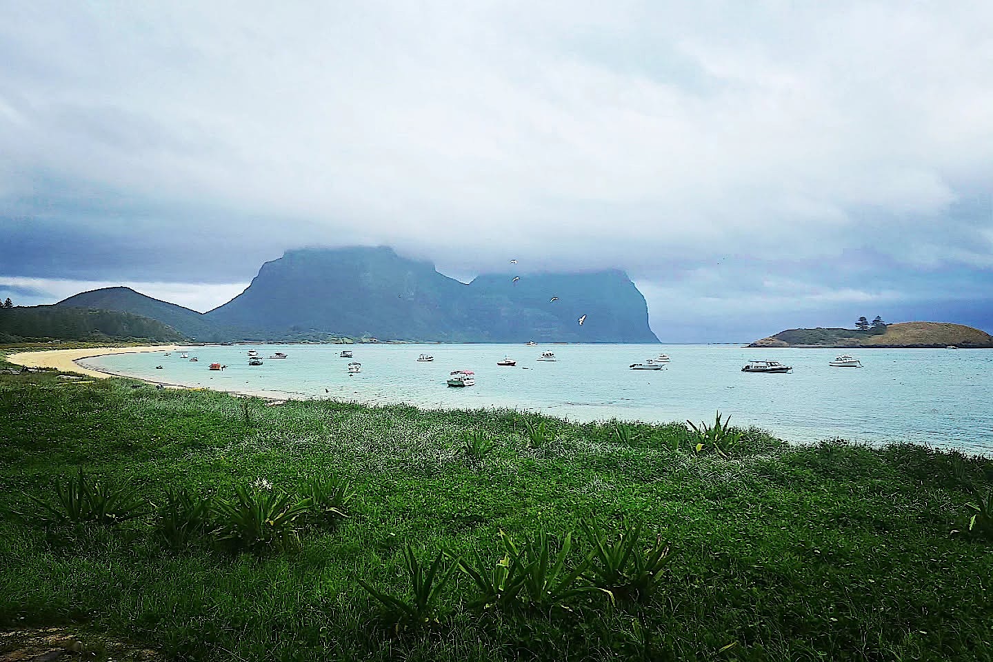
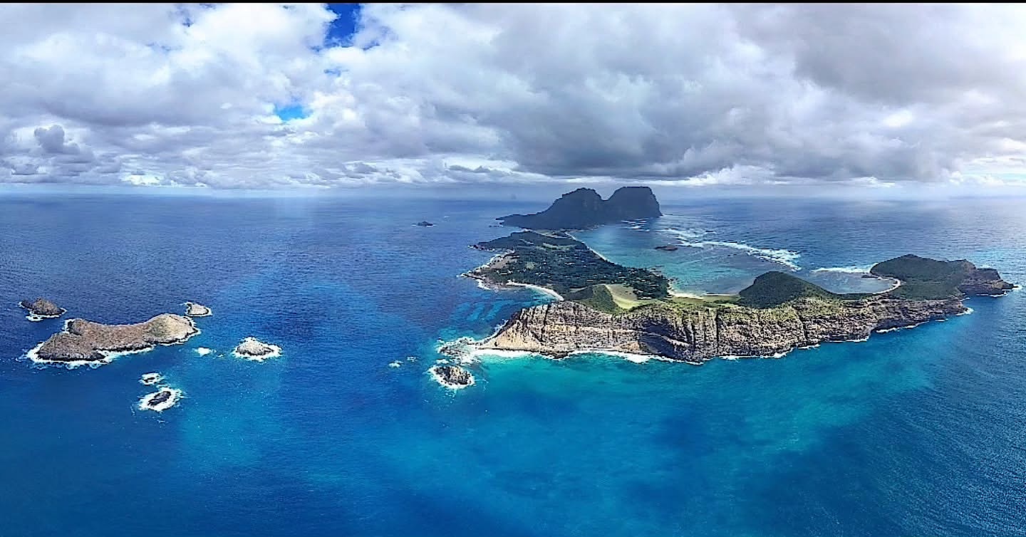
Lord Howe is a stunning island that few people have heard of. On my second day I dived the lagoon, and in the afternoon a hike that was worth every step took me up to a rocky outcrop above the settlement, with a view across the turquoise water to the two mountains.
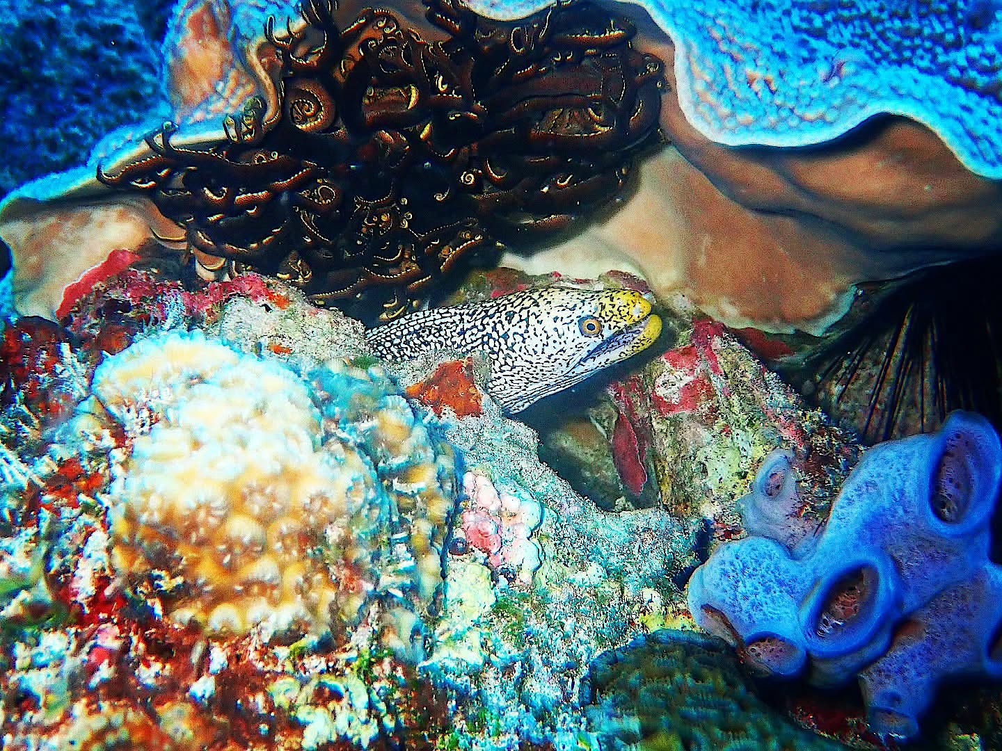
The next morning I dived along the cliffs, where a cute little moray eel peered out of the reef. Back on land I made a 360-degree panorama, another from the centre of the island, where you can see almost everything, and one of Mount Gower.
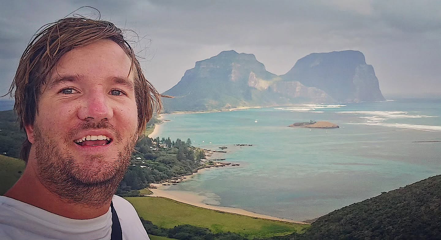
A simple rule keeps Lord Howe special: no more than 400 visitors may stay on the island at any one time, so you often have whole beaches and trails to yourself.
Grounded by the wind
The real reason I had come was Ball's Pyramid, and that is where my luck ran out. The waves were too heavy for the boat, strong winds grounded the sightseeing flight, and the snorkelling trip with Galápagos sharks was cancelled too. The closest I got was the view from the plane and a grey silhouette on the horizon.
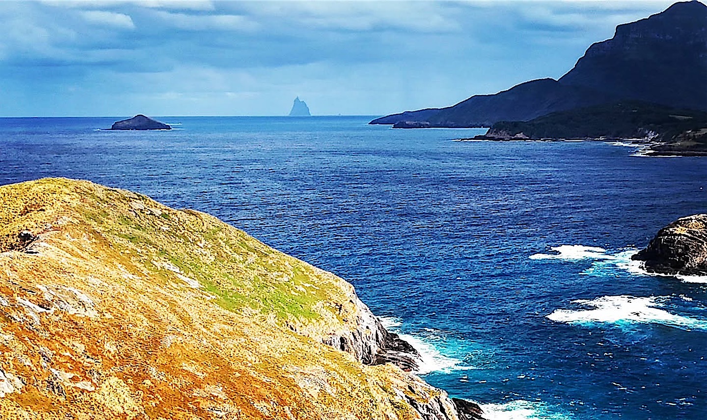
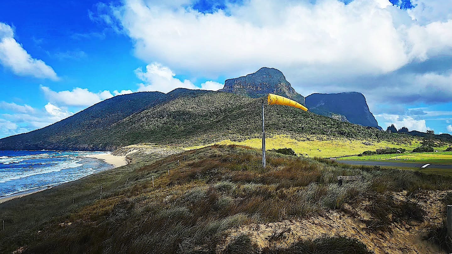
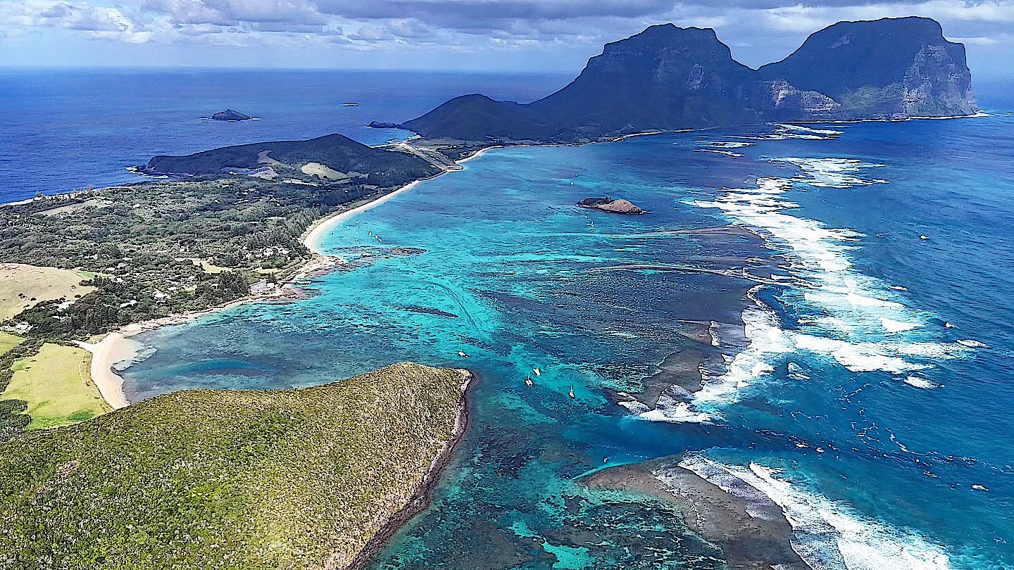
At least my drone had fun. From above, the whole island fits into one frame, with the airstrip and the power station squeezed into its narrow middle. With Ball's Pyramid still out of reach, I will probably have to come back one day.
Travelling light to a town called Penguin
On 21 March I flew back to Sydney, lighter than planned. Qantas made me check my hand luggage for the small plane and then left it on Lord Howe, so I spent the next two or three days with almost nothing until I could collect it in Hobart. A short transit evening in Sydney is always interesting for me: it was my first big city outside Europe, where I spent a week over New Year 2011 during my voluntary service year in New Zealand.
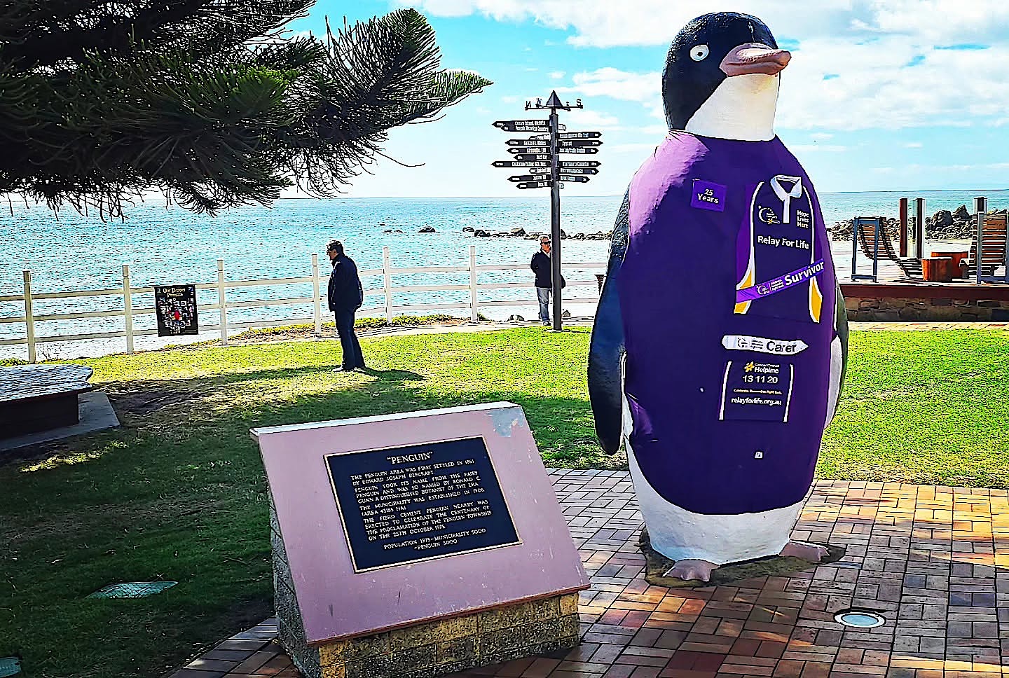
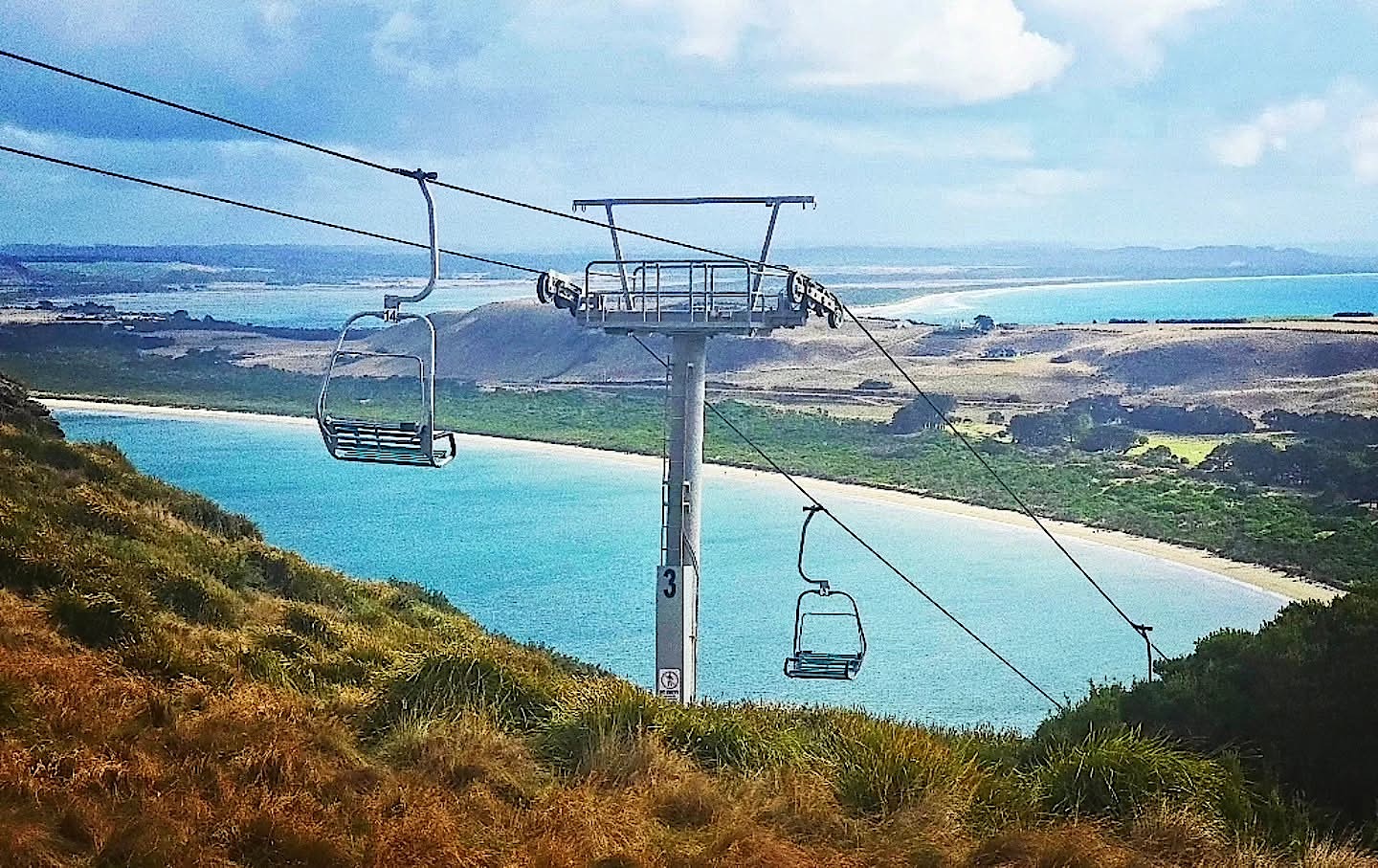
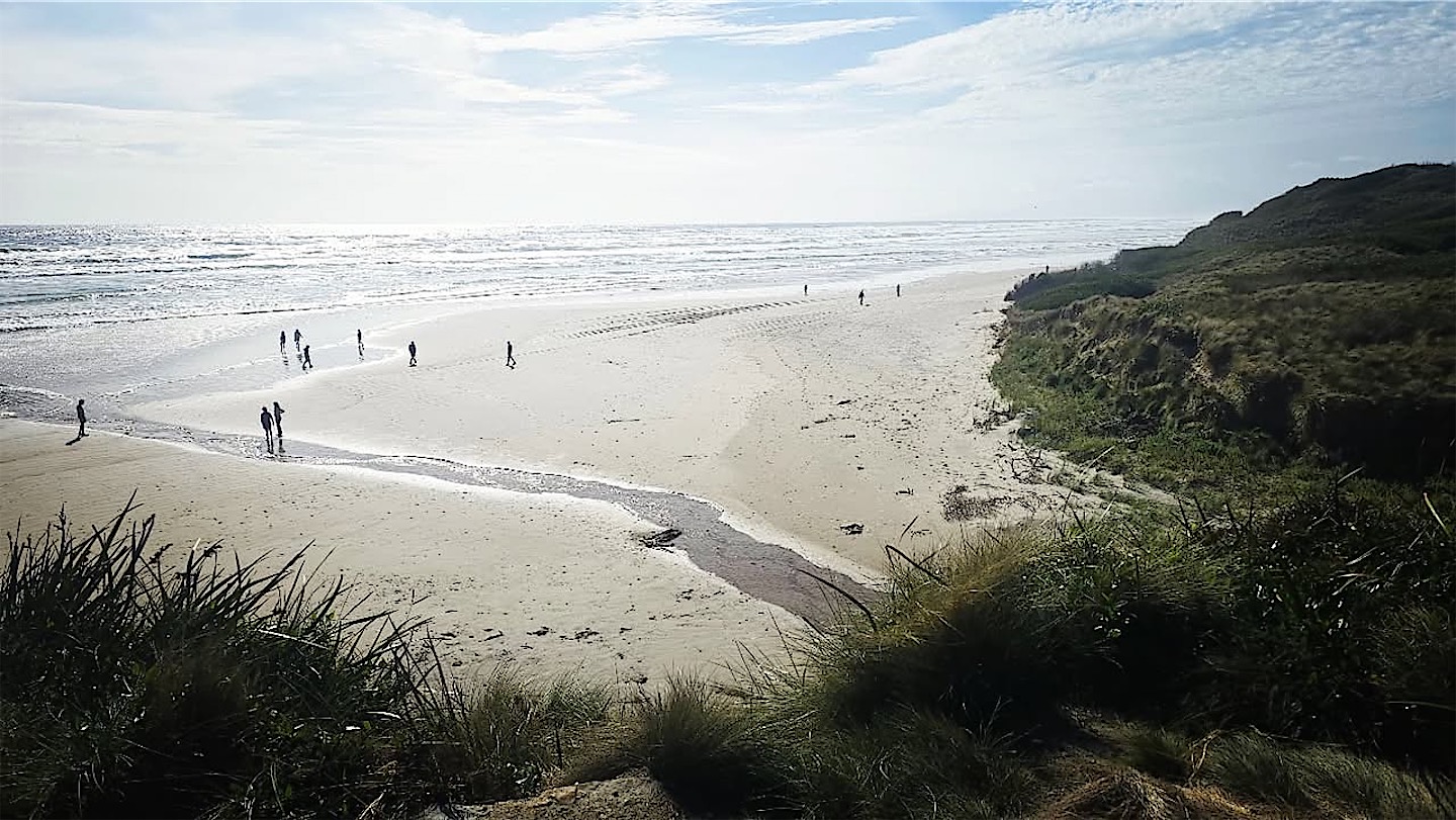
The next island was a bit bigger, which came as a relief: Tasmania is large enough for a proper road trip. Since I would be back in February 2026 for an Antarctic cruise, I kept this visit short and stayed in the west; the east had to wait for my return to eastern Tasmania. I landed in Devonport on the north coast, and my first stop was a town called Penguin. It is named after the little penguins that nest along the shore and is guarded by a three-metre statue built in 1975 for its centenary. Tasmania was an easy number 322. In Stanley a chairlift climbs The Nut, an old volcanic plug above the village, and the beaches would have been perfect if only the water hadn't been so cold.
Devils, quolls and Cradle Mountain
At Cradle Mountain I finally met my first Tasmanian devil, and quolls too, in a wildlife sanctuary.
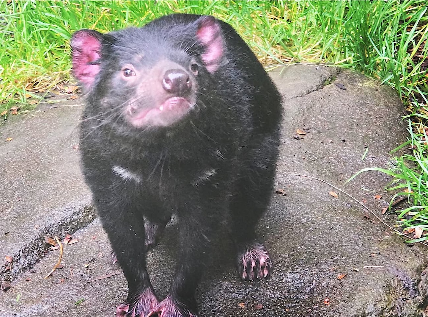
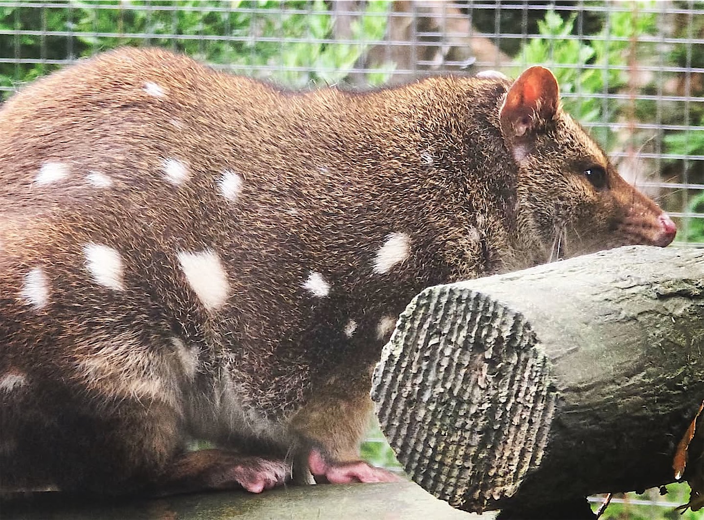
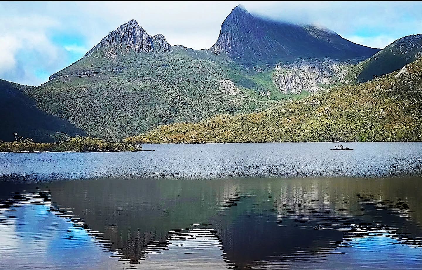
Then came some fabulous hiking: the 90-minute circuit around Dove Lake below the jagged peaks of Cradle Mountain. This is the northern end of Cradle Mountain–Lake St Clair National Park, part of the Tasmanian Wilderness World Heritage Area. The Overland Track links it over about 65 kilometres with Lake St Clair, the deepest lake in Australia.
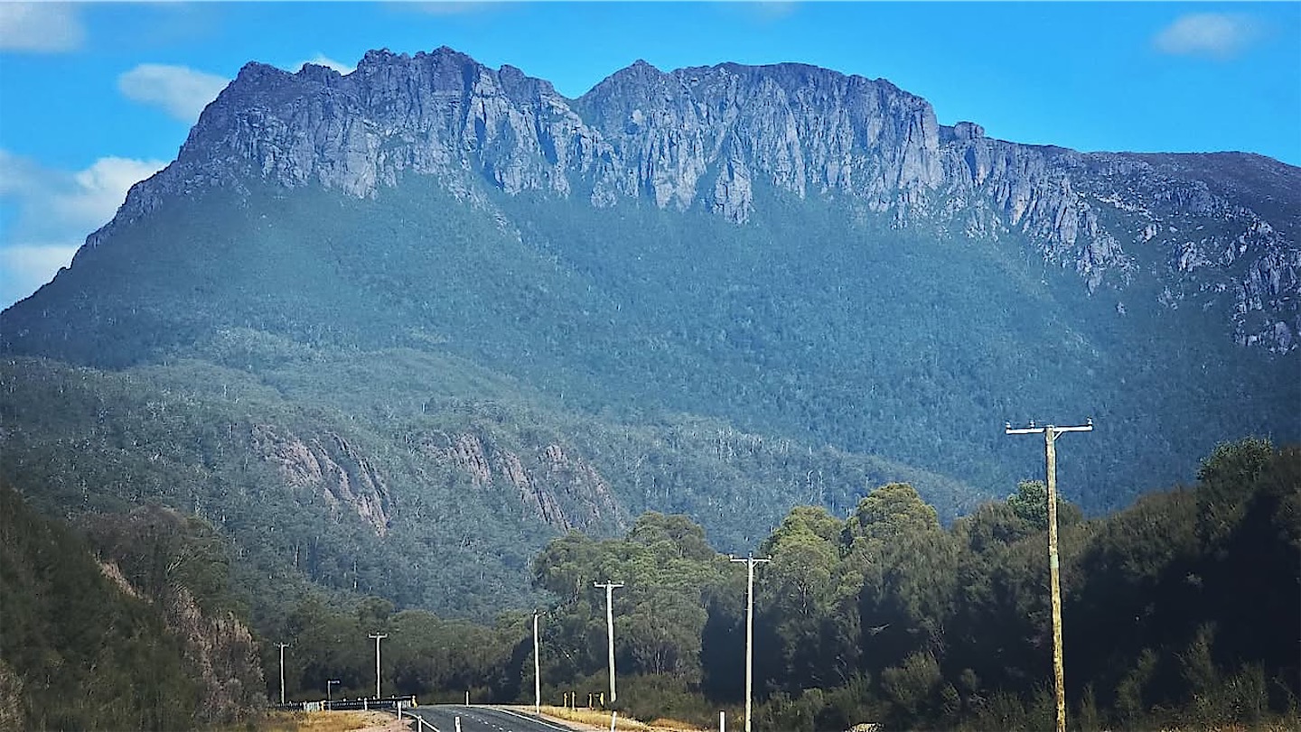
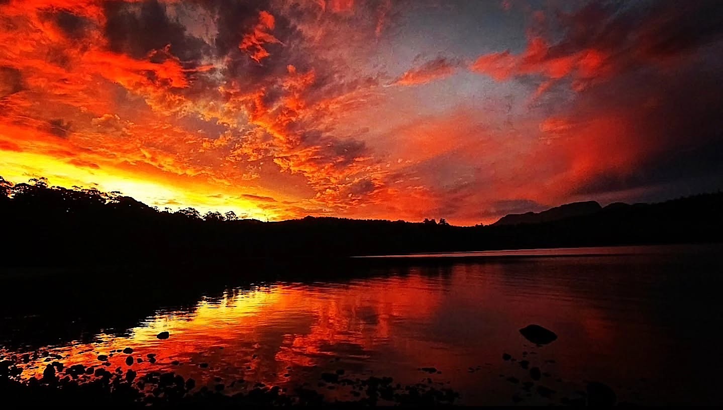
From Cradle Mountain I continued down the west coast and through the wild Western Highlands, all steep ranges, dense forest and windswept beaches, and reached Lake St Clair just in time for a stunning sunset.
Raspberries, Tasman Island and Hobart
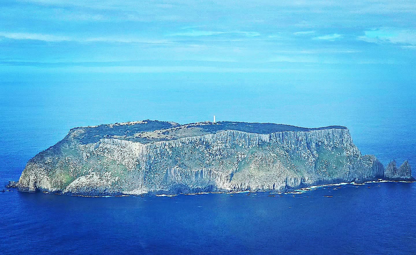
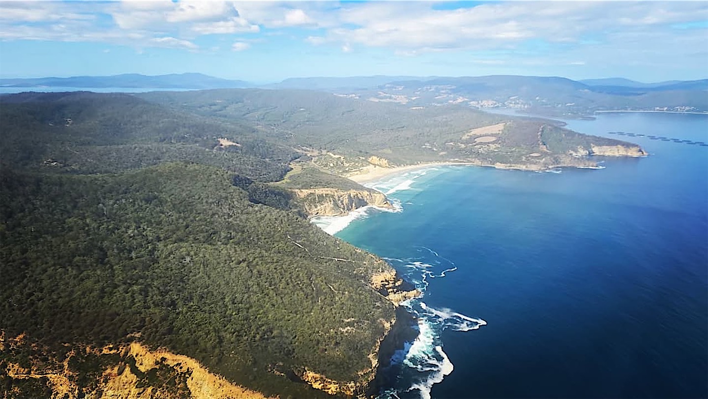
Who can resist breakfast fresh from the orchard? The next morning I stopped at the Westerway Raspberry Farm in the Derwent Valley, then crossed the highlands towards Hobart. Tasmania wasn't finished with me yet: a helicopter flight took me along the southern coast to the last lighthouse before Antarctica, on Tasman Island.
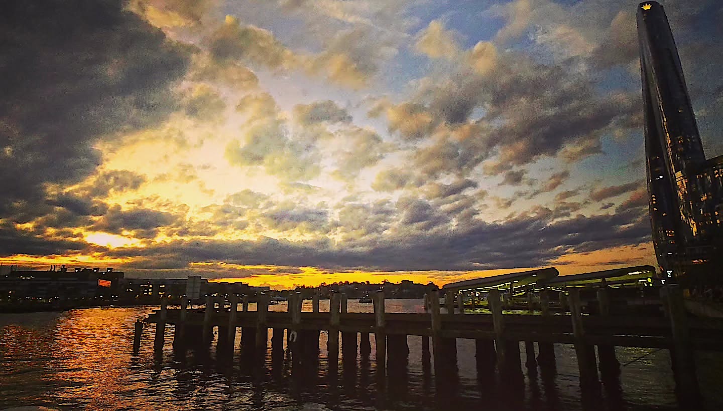
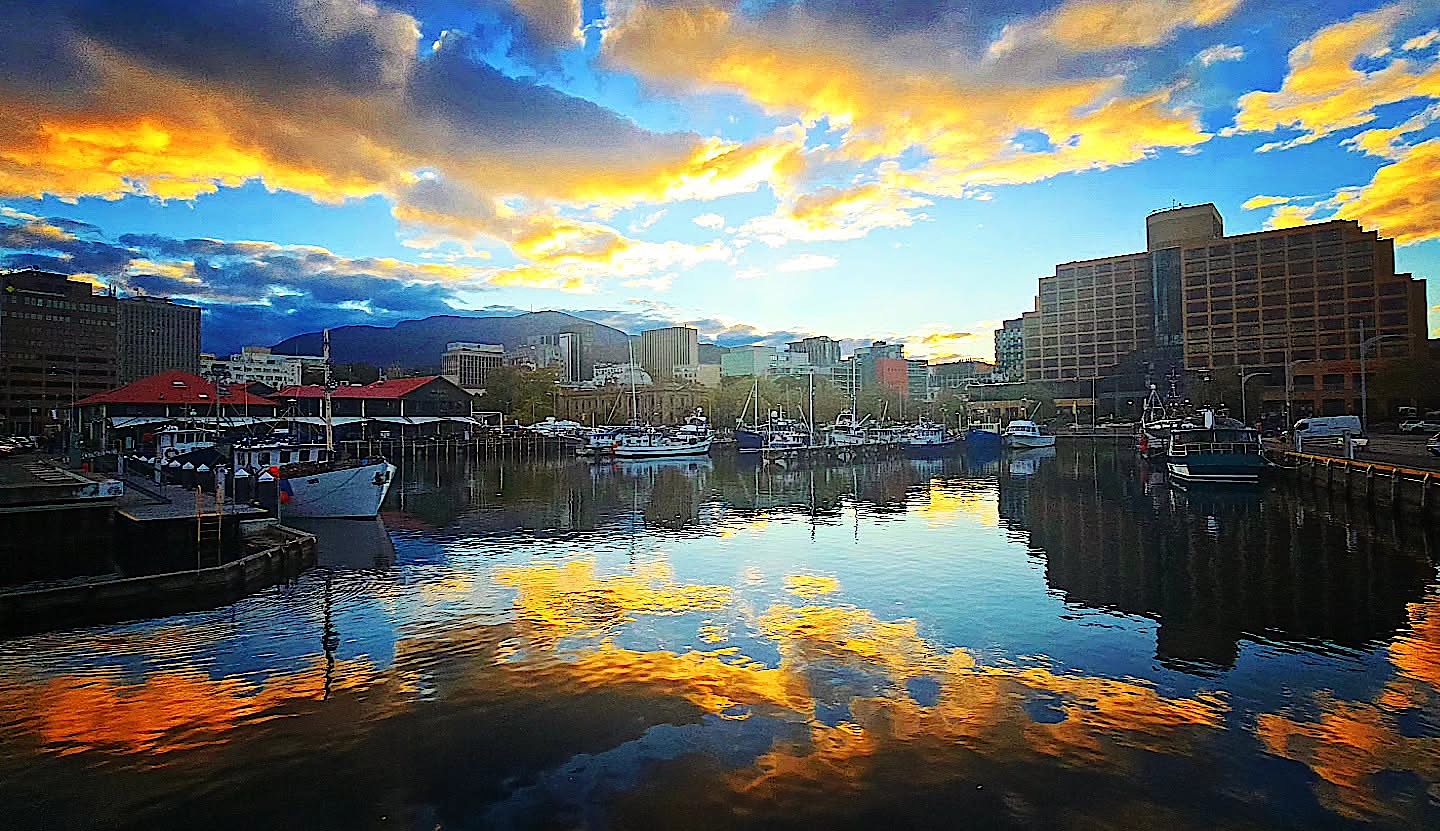
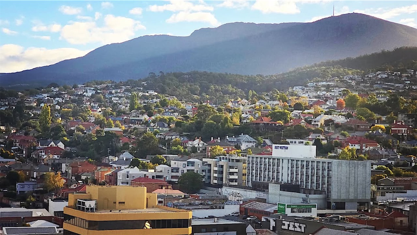
The day ended in Hobart, a nice town, with its harbour glowing in the evening light. After a last look over the old town the next morning, I flew on to Port Lincoln in South Australia.
Lord Howe and Tasmania closed the last gaps in my map of Australia, even if Ball's Pyramid kept its distance. Next up, hopefully: great white sharks at the Neptune Islands.